Full Circle of Armenia: The 6-Day Grand Ring
A 6-day road trip round Armenia: 910 km anticlockwise via Khor Virap, Tatev, the Selim pass, Sevan, Haghpat and Gyumri, with real driving times.
Armenia fits inside one circle. Six days, five nights, about 910 km and close to fifteen hours behind the wheel takes you round the entire country and back to Yerevan without once returning to the capital in between: south to Khor Virap under Ararat, east into the wine cellars of Areni, down to the Wings of Tatev, north over the old Silk Road pass at Selim, up the quiet shore of Lake Sevan into the forests of Dilijan, along the Debed canyon to the UNESCO monasteries of Sanahin and Haghpat, and home through Gyumri on a motorway that opened this April.
One stretch does repeat, and it’s fair to say so up front: about 107 km of the M2 between Yeghegnadzor and the Tatev turn-off, driven south on day 2 and back north on day 3, roughly a quarter of the ring. There’s no way around it, because the deep south is a dead end unless you’re crossing into Iran. What the ring spares you is what the week-long itineraries can’t avoid: doubling back through Yerevan between legs.
Two things decide whether the circle actually closes. The cable car at Tatev is shut every Monday of the year, and on this plan it falls on day three, so a ring that begins on a Saturday ends at a locked station 284 km from where you slept. And the Selim pass, the hinge that lets you come north out of the south without retracing the M2, sits at 2,410 m and closes in winter weather. From roughly November to April this is not a loop at all, just an out and back with extra kilometres. Everything else here is forgiving; those two aren’t.
The ring in numbers
| Day | Route | km | at the wheel | Sleep |
|---|---|---|---|---|
| 1 | Yerevan, Khor Virap, Areni, Noravank | 127 | 2 h 05 | Yeghegnadzor or Areni |
| 2 | over the Vorotan pass to Goris | 135 | 2 h 05 | Goris |
| 3 | Wings of Tatev, then the Selim pass | 196 | 3 h 05 | Lake Sevan, south or west shore |
| 4 | up the west shore to Dilijan | 111 | 2 h 00 | Dilijan |
| 5 | Debed canyon, Sanahin, Haghpat, Gyumri | 218 | 3 h 50 | Gyumri |
| 6 | Gyumri back to Yerevan | 120 | about 2 h | home |
Those are routed distances between the stops, measured on both OSRM and the OpenStreetMap car router on 4 August 2026; the two agreed to the metre on every leg. They don’t include the walk to the monastery gate, the detour a signpost tempts you into or the wrong turning in Vanadzor, so the honest working figure is a little over 950 km.
Why anticlockwise? It gets the long southern haul and both high passes done in the first half and leaves the shortest leg for the day you fly out, on a new motorway rather than a mountain road. It also keeps you west of the closed eastern frontier: go clockwise and you reach Lake Sevan from the north, with the eastern shore toward Vardenis pulling at you, which is exactly where the advisories say not to drive.
Day 1: south into the wine country (127 km)
Leave Yerevan early and treat Khor Virap as a sunrise job. It’s just over 40 km down the M2 and free to walk into, but Ararat behind it is a lottery: clearest in the first hour after sunrise, usually gone behind a milky haze by eleven, and locals will tell you they go weeks without a clean view. One rule with no flexibility: no drones. The closed border is about 100 metres away.
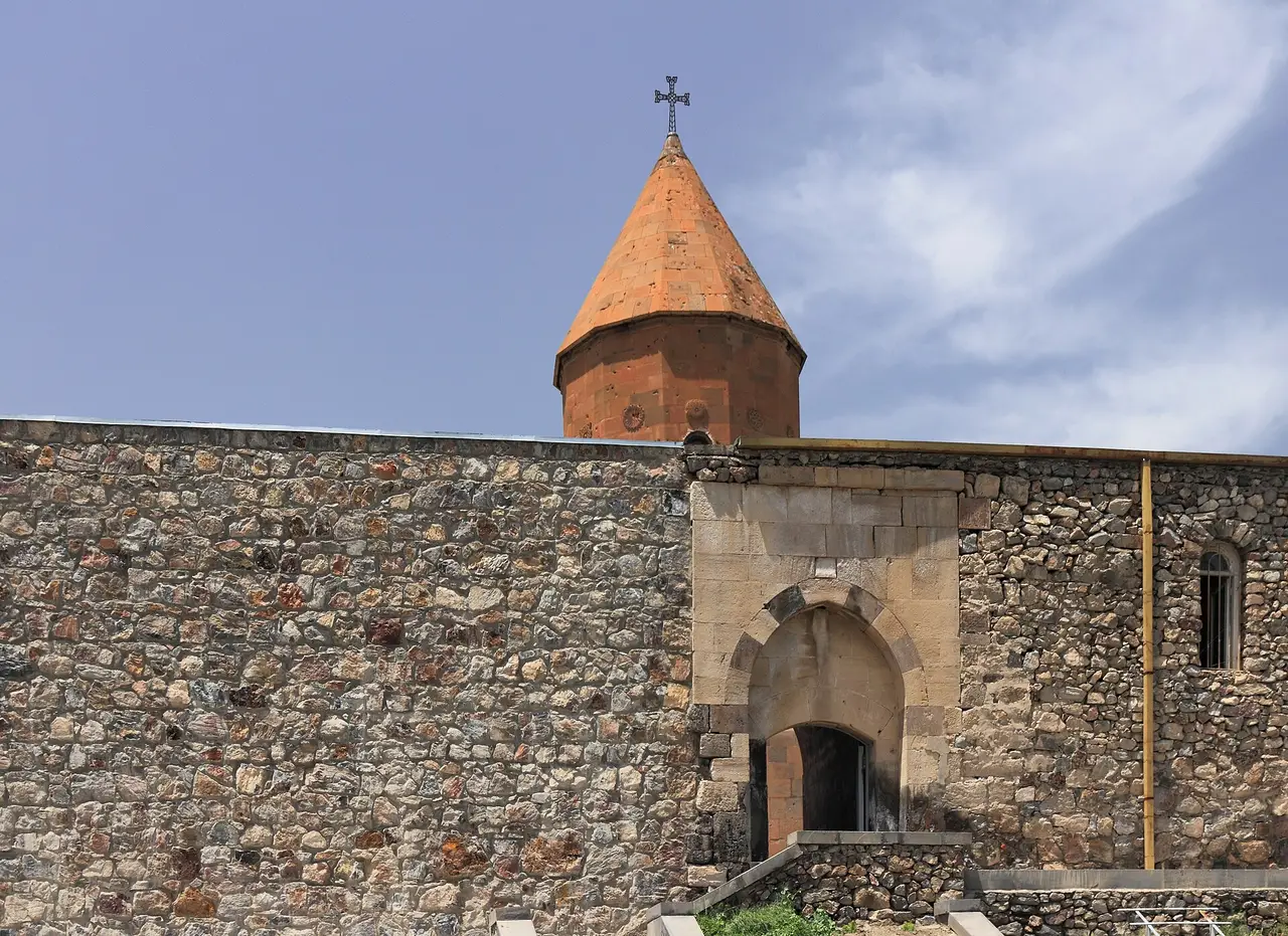
From there it is 75 km of easy plain and rising valley to Areni, where family cellars sell the local red straight off the roadside and the Areni-1 cave holds the remains of the oldest known winery on earth, roughly 6,100 years old. The cave keeps informal hours and its famous finds live in a Yerevan museum, so the wine of Areni is the better reason to pull over. Ten minutes on, turn up the Amaghu gorge for Noravank, eight kilometres of side road ending at a honey-coloured monastery under sheer red cliffs. Go late: the rock does its trick in the last hour of light.
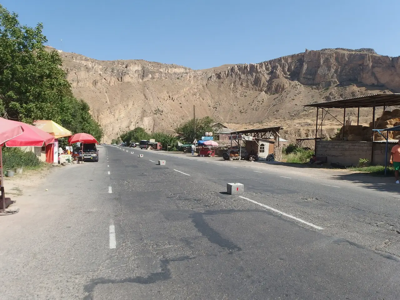
Sleep in Yeghegnadzor or Areni, and fill the tank before you turn in. It sounds fussy on day one; you’ll see why on day three.
Day 2: over the Vorotan pass to Goris (135 km)
A short day by distance and a big one by altitude. The M2 climbs out of Vayots Dzor to the Vorotan pass at 2,344 m, marked by two tall stone pylons and a line of cars belonging to people stretching their legs. You’ll want a layer even in July, and this is the one stretch of the ring that asks for a car with some pull.
Past the summit the road drops toward Sisian, where the standing stones of Karahunj and the scheduled waterfall at Shaki sit a few kilometres off the highway; our southern Armenia road trip has both, including why the waterfall only runs after 11:00. Otherwise push through to Goris and give the afternoon to the town.
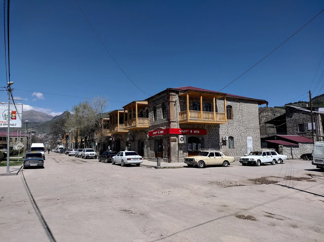
Day 3: the cable car, then the long haul north (196 km)
The hardest and best day. Goris to Halidzor and the lower station of the Wings of Tatev takes twenty-five to thirty minutes; the cable car itself is 5,752 m, still the record for the longest reversible aerial tramway built in one span. The crossing takes about twelve minutes, floats as high as 320 m above the Vorotan gorge, and ends at a ninth-century monastery on the cliff edge.
Check the day of the week before anything else, because the cableway is closed every Monday, in every season. Hours run 10:00 to 19:00 from May to September, and 10:00 to 18:00 in October and November and again in March and April. A round trip is 9,000 AMD (about $24.50) from March to November and 5,500 AMD from December to February; the monastery itself is free, the ticket buys the ride. Confirm the current timetable on tatever.am before you drive out, and be on one of the first cabins: if you’re back at the car by one, the rest of the day works.
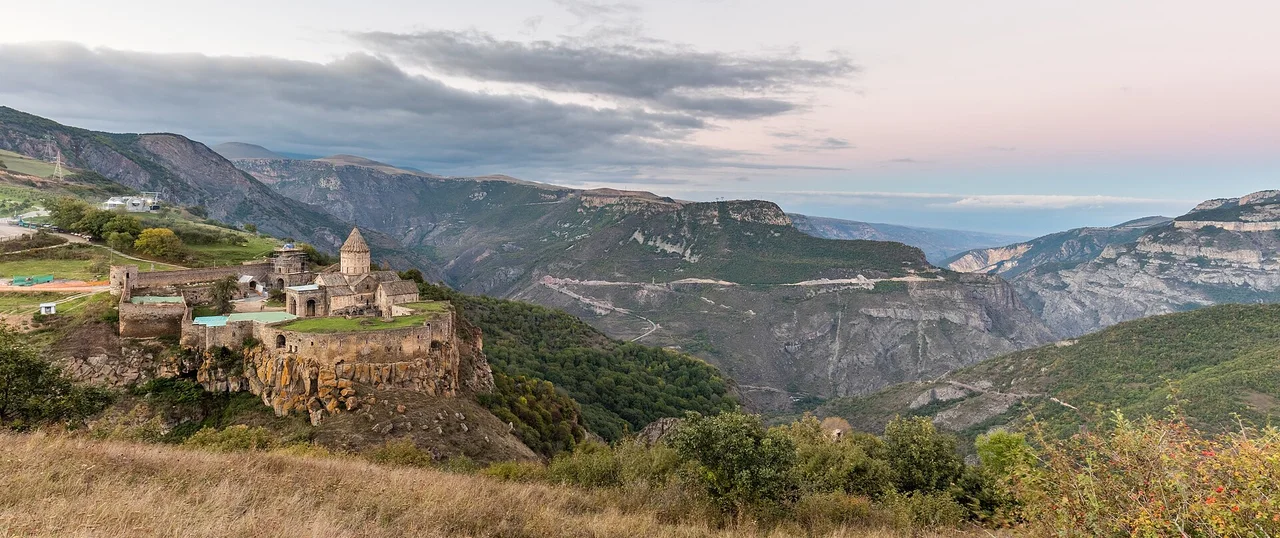
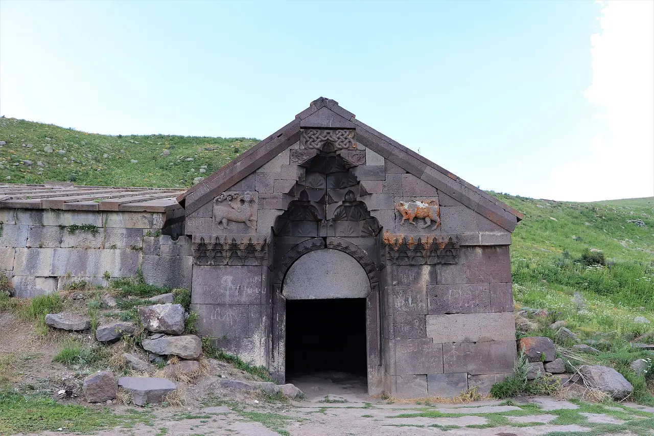
Then comes the long one: 151 km back over the Vorotan pass and past Yeghegnadzor, where you turn north onto the Martuni-Getap road (signed H-79 now, M10 on older maps) and climb again to the Selim caravanserai, a basalt hall built in 1332 by Prince Chesar Orbelian for caravans crossing the Vardenyats pass at 2,410 m. It’s the best-preserved caravanserai in the country, it costs nothing, and it’s the most atmospheric ten minutes of the trip. Over the top the road drops to Martuni on Lake Sevan.
Here’s the fuel warning that day one was about. On the whole stretch between Yeghegnadzor and Martuni, almost 60 km, OpenStreetMap maps no filling station at all (checked 4 August 2026), and the last pump before the climb is the Flash station on the edge of Yeghegnadzor. Treat that as your last chance for petrol, not as a technicality.
Day 4: the quiet shore and the forest (111 km)
An easy day after yesterday. Run north up the west shore of Lake Sevan rather than the east: the eastern road heads toward Vardenis and the closed frontier, which sits inside a “do not travel” zone, and the western side has the sights anyway. The khachkar field at Noratus is a twenty-minute detour and about a thousand carved stones.
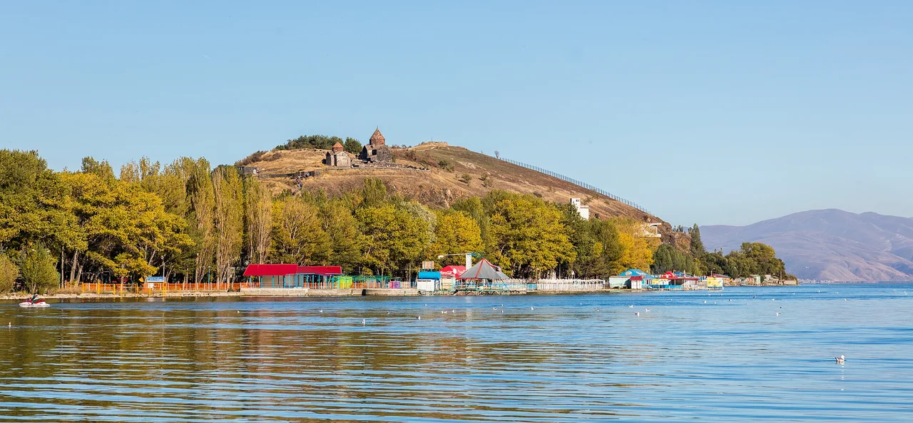
At the north end, Sevanavank stands on its peninsula above water at nearly 1,900 m. Climb the steps, eat the trout, swim in July or August if you don’t mind the cold. Then the M4 slips through the tunnel under the Sevan range, bypassing the old pass road at 2,130 m, and drops into Dilijan, damp and wooded and unlike anything you’ve driven through so far.
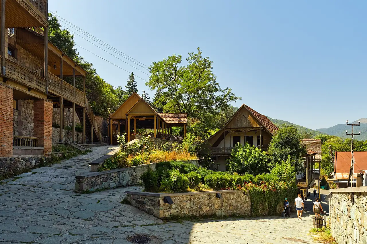
Give the evening to the restored Sharambeyan craft street and, if you can spare an hour next morning, the forest monastery of Haghartsin; our Dilijan guide has both plus the park trails.
Day 5: the Debed canyon and on to Gyumri (218 km)
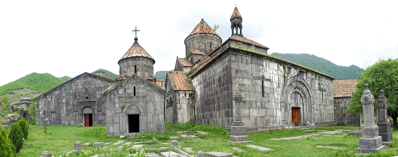
The day people underestimate: 218 km with a World Heritage listing in the middle, so leave Dilijan by half past eight. Drop to Vanadzor, then follow the M6 up the Debed canyon to Sanahin and Haghpat, inscribed together by UNESCO in 1996 and both still working churches: free, no ticket office, and nobody publishes opening hours, so you’re safe anywhere between mid-morning and sundown.
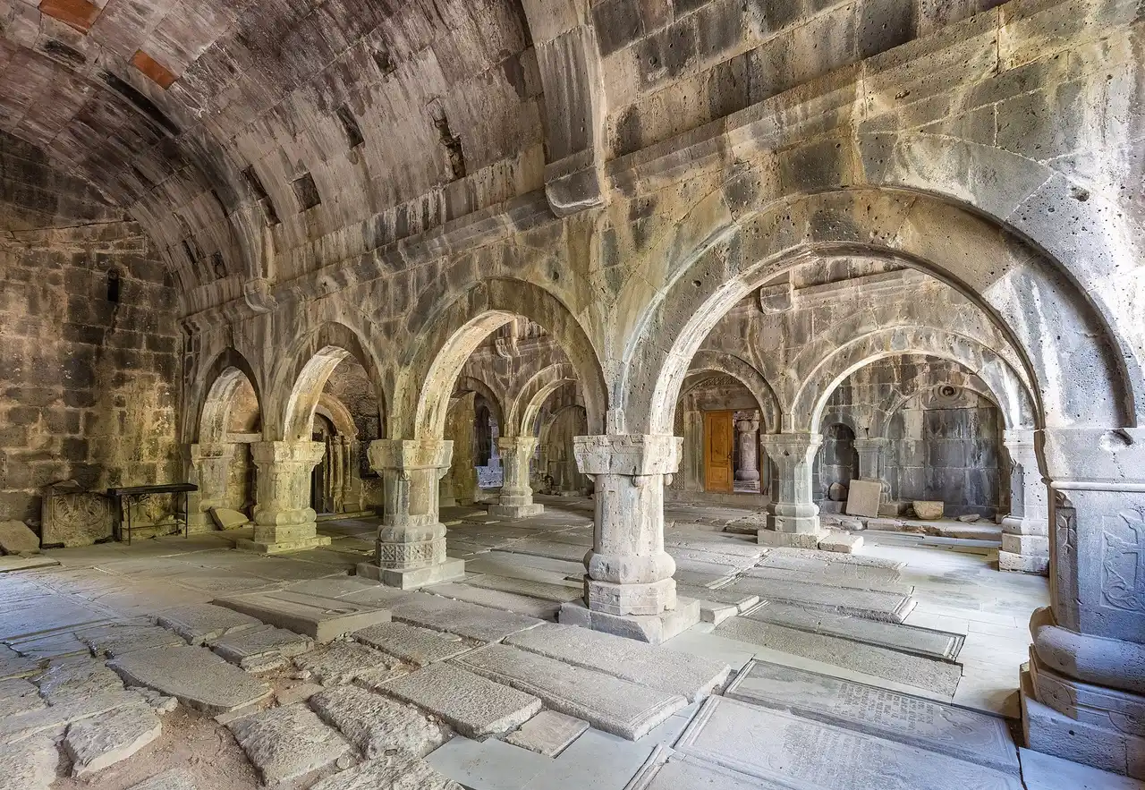
The two sit about three kilometres apart in a straight line and fifteen by road, because the link drops into Alaverdi and climbs the far side; don’t budget five minutes for it, budget twenty. Then turn west for the two-hour run to Gyumri. If this leg appeals more than the schedule allows, our Debed canyon road trip gives the same valley two unhurried days.
Day 6: Gyumri, then the fast road home (120 km)
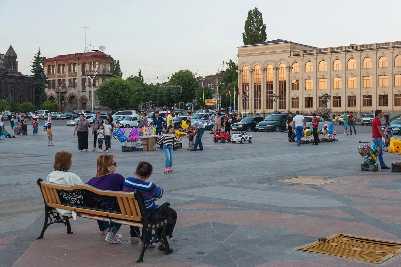
Give Gyumri the morning. The second city is built of black and pink tuff, and its Kumayri quarter came through the catastrophic 1988 earthquake largely intact, which makes it one of the few places anywhere with a real nineteenth-century Armenian townscape.
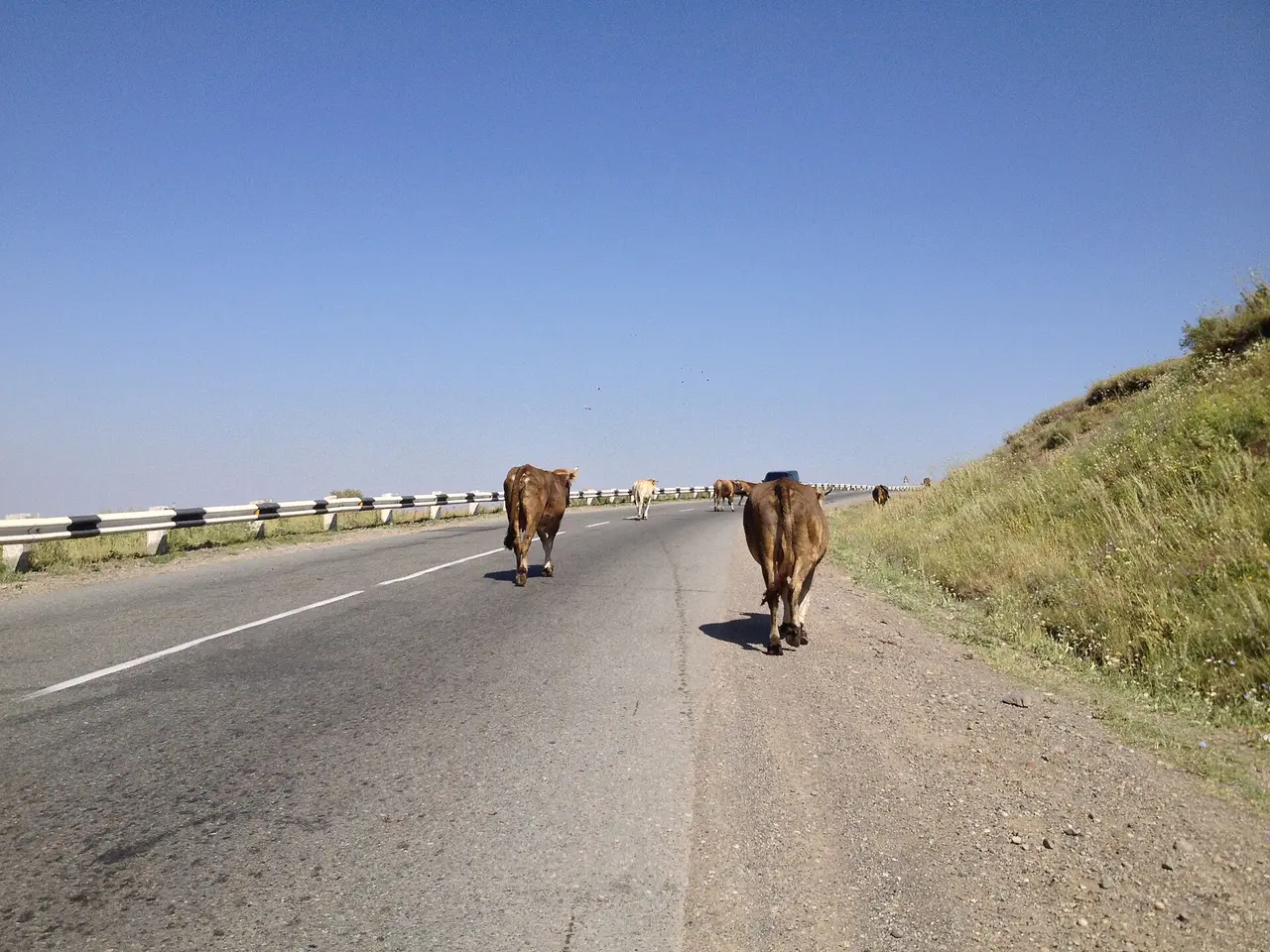
Then the ring closes on the best road in the country. The 84 km Ashtarak to Gyumri section of the North-South corridor opened in April 2026: two lanes each way, nineteen interchanges, ten bridges, a 90 km/h limit, about 381 million euros. The last leg is roughly 120 km and about two hours, so leave Gyumri after lunch and you still make dinner in Yerevan. Anyone who drove this two years ago won’t recognise the finish.
The car, the fuel and the money
This is self-drive country and the ring assumes it. Buses link the towns but not the monasteries: the Selim pass, the Halidzor cable-car station and the Debed spurs are exactly where they don’t go. Pick the car up in Yerevan and drop it back there; a small saloon copes outside winter, though a crossover’s clearance earns its keep on the side roads to Noravank and Haghpat.
Fuel is the cheap part. Petrol was running at roughly 540 to 570 AMD a litre in early August 2026, which puts about 65 to 75 litres, or 35,000 to 43,000 AMD (call it $95 to $115), into the tank across the whole 910 km. Two habits matter more than the price. Keep the tank above half, because rural stations thin out and a great many of them sell only LPG or compressed gas rather than petrol. And carry cash in dram, because plenty of them don’t take cards.
Add the lot up and six days on a shared car, with simple hotels, local food, the cable car and fuel, starts around 190,000 AMD per person for two travelling together. That’s an order of magnitude rather than a quote; the car and the beds swing it hardest. Our guides to renting a car in Armenia and driving in Armenia cover the deposit, the insurance excess, the international permit and the border areas you must not enter.
Where to sleep each night
Five nights, five towns: Yeghegnadzor or Areni, Goris, the south or west shore of Lake Sevan, Dilijan, Gyumri. Goris and Dilijan have the widest choice and the best food; the lake night is the one to book ahead in July and August, when Yerevan empties onto the shore at weekends. Nothing here needs a five-star bed, and the guesthouses are usually the better story.
When the ring is not a ring
From November to April, assume the loop is broken. The Selim pass shuts in snow, the Vorotan pass can follow, and without those two crossings the line doesn’t join up. In winter, drive the south as an out and back and take the north separately, or use our 7-day Armenia itinerary, which is built to come back through Yerevan between legs.
Five days rather than six? Cut the Debed leg: Dilijan to Gyumri direct saves about 120 km, at the cost of the two finest monasteries in the north. With seven, the extra night belongs in Goris, which turns Tatev from a race into a morning. To go slower everywhere, our 10-day Armenia itinerary builds in Echmiadzin, the deep south and a second canyon day, and our guide to how many days you need in Armenia sets out what fits in three, five, seven or ten. For more ways to string the country together, browse the routes hub.
Route day by day
- Days on the road
- 6
- Distance
- ≈910 km
- Budget from
- 190000 AMD
- Best season
- May, June, July, August, September, October
The route at a glance
-
Yerevan
Route startstop ≈0 min
Pick up the car, fill the tank on city prices and head south on the M2. The ring runs anticlockwise and comes back to this point on day six.
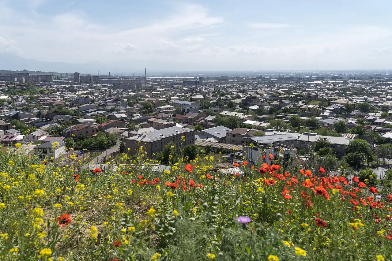
Photo: Alexkom000 / Wikimedia Commons, CC BY 4.0 ( source) -
Khor Virap
42 km from the startstop ≈60 min
The fortress-walled monastery on the Ararat plain, free to enter, best in the first hour after sunrise. No drones: the closed border is 100 m away.
Photo: Marcin Konsek / Wikimedia Commons, CC BY-SA 4.0 ( source) -
Areni
118 km from the startstop ≈90 min
Wine village strung along the M2, family cellars pouring from the barrel, and the Areni-1 cave with the oldest known winery on earth.
Photo: Palickap / Wikimedia Commons, CC BY 4.0 ( source) -
Noravank
127 km from the startstop ≈90 min
Eight kilometres up the red Amaghu gorge off the M2. Free, and at its best in the last hour of light when the cliffs turn rust.
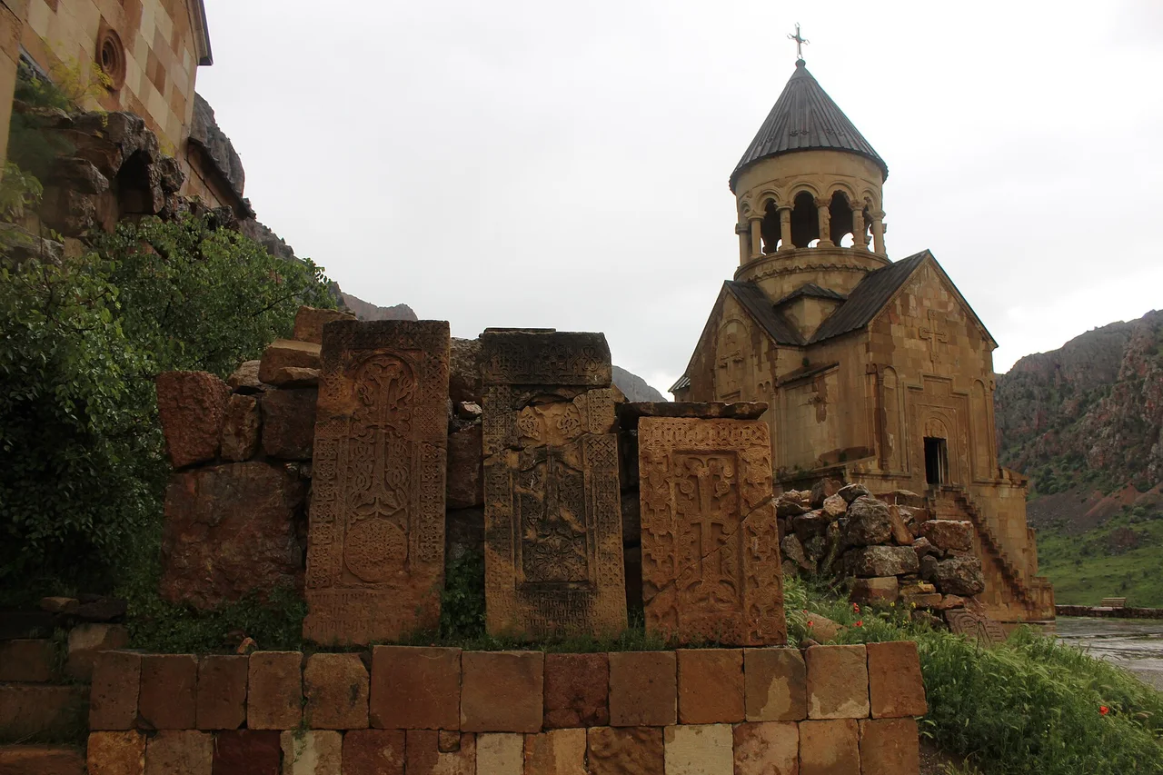
Photo: Soghomon Matevosyan / Wikimedia Commons, CC BY-SA 4.0 ( source) -
Goris
262 km from the startstop ≈0 min
Second night. A stone town of steep streets and rock cones in a green valley, and the widest choice of beds and dinner in the deep south.
Photo: Jelger Groeneveld / Wikimedia Commons, CC BY 2.0 ( source) -
Wings of Tatev
284 km from the startstop ≈240 min
The turning point of the ring: a 5,752 m cable car from Halidzor to the clifftop monastery. Closed every Monday of the year.
Photo: Diego Delso / Wikimedia Commons, CC BY-SA 4.0 ( source) -
Orbelian's (Selim) Caravanserai
435 km from the startstop ≈30 min
A basalt Silk Road inn of 1332 just under the Vardenyats (Selim) pass at 2,410 m. The hinge of the whole loop, and shut by winter snow.
Photo: Dav Sargsyan / Wikimedia Commons, CC BY-SA 4.0 ( source) -
Lake Sevan
530 km from the startstop ≈120 min
The biggest lake in the Caucasus at nearly 1,900 m, with the ninth-century Sevanavank on its peninsula. Reached up the quiet west shore.
Photo: Diego Delso / Wikimedia Commons, CC BY-SA 4.0 ( source) -
Dilijan
569 km from the startstop ≈0 min
Fourth night, through the tunnel under the Sevan range. Forested spa town with a restored craft street and two monasteries in the woods.
Photo: Alexxx1979 / Wikimedia Commons, CC BY-SA 4.0 ( source) -
Sanahin
655 km from the startstop ≈60 min
First half of the UNESCO pair above the Debed canyon: a tenth-century academy, scriptorium and arcaded halls. Free, no ticket office.
Photo: Diego Delso / Wikimedia Commons, CC BY-SA 4.0 ( source) -
Haghpat
670 km from the startstop ≈60 min
Three kilometres from Sanahin as the crow flies, fifteen by road, because the link drops into Alaverdi and climbs the far side.
Photo: Tiia Monto / Wikimedia Commons, CC BY-SA 3.0 ( source) -
Gyumri
788 km from the startstop ≈0 min
Last night. The second city, built of black and pink tuff, with an old quarter the 1988 earthquake largely spared.
Photo: Marcin Konsek / Wikimedia Commons, CC BY-SA 4.0 ( source)
Route map
The map with stops loads on click - to keep the page lightweight.
The map didn’t load. Check your connection and refresh the page.