Yeghegnadzor: Wine Country Base in Vayots Dzor
Why base yourself in Yeghegnadzor: Noravank and Areni on the doorstep, Gladzor, Smbataberd, a medieval Jewish cemetery and buried cheese.
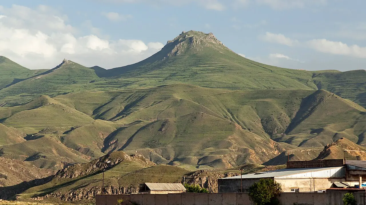
Yeghegnadzor is a small provincial capital on the M2, 123 km south of Yerevan, and its real value to a traveller is location rather than sights. Noravank, the Areni vineyards, a ridge fortress, a Jewish cemetery from the 13th and 14th centuries and the ruins of a medieval university all sit within about half an hour of its main street. Almost everyone drives straight past it to photograph the monastery and drive back to the capital in a day. Stay two nights instead and Vayots Dzor stops being a photo stop and turns into a region.
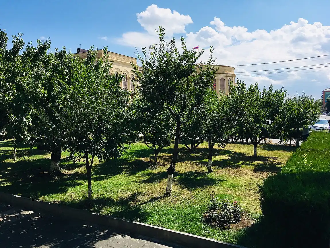
The town itself is honest about what it is: about 6,900 people at the 2022 census, down from nearly 8,000 in 2011, at 1,194 m on the Arpa river, with Soviet blocks, a shaded roundabout and khorovats grills along the highway. Nobody comes for the town. They come because it is the only place in the region with a proper choice of beds, food and drivers.
The lay of the land
Vayots Dzor is the narrow, dry, spectacular province between the Ararat plain and Syunik, and Yeghegnadzor sits in the middle of it where the Arpa cuts through. The name is literal: yegheg means cane or reed, dzor means valley, so this is the valley of reeds. People have been here a very long time. The place first appears in written sources in the 5th century, under the name Pondzatagh, and the remains of an Urartian fortress on the heights go back to the 7th century BC. Between the 9th and 13th centuries this was part of the Kingdom of Syunik, with the Silk Road running through it. Under the Soviets the town spent 1935 to 1957 renamed Mikoyan, after Anastas Mikoyan, before the old name came back.
That history is why the surrounding hillsides are studded with monasteries, fortresses and caravanserais in a density you rarely find outside Lori. Climate-wise, expect a hot, dry summer and a properly cold winter: the July mean is about 23°C, January runs around -3°C, and annual rainfall is a modest 370 mm. September and October are the best weeks of the year here, for reasons that come down to grapes.
Wine country, and the one date to know
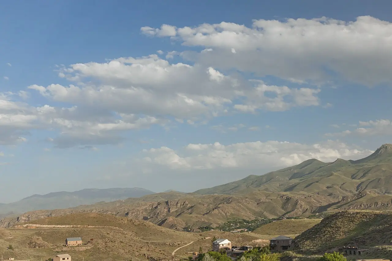
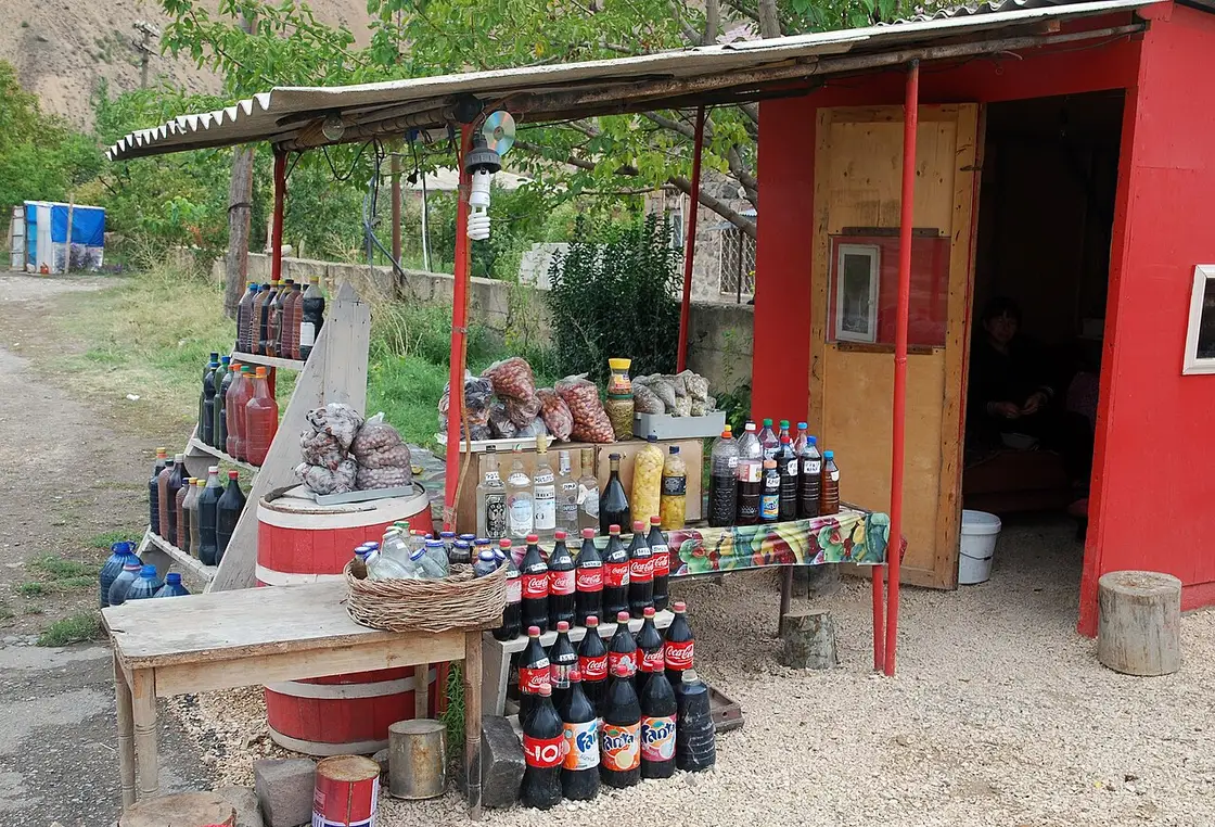
This is Armenia’s wine heartland. Areni village lies 22 km west, about half an hour by road, and gives its name to the Areni Noir grape that most serious Armenian reds are built on. Vayots Dzor’s wineries range from a cellar behind someone’s house selling into repurposed plastic bottles to polished tasting rooms with a view over the vines, and Yeghegnadzor itself has producers on its edge, including Maran, Old Bridge and Getnatoun. Few of them publish opening hours in any reliable way, so message or ring ahead rather than turning up; small operations here often need a day’s notice.
The date to build a trip around is the Areni Wine Festival, on 3 October 2026 in Areni village, running 11:00 to 20:00 with free entry. It is a village-scale event rather than a slick city one: producers pouring from their own barrels, folk music, food stalls and grape-stomping, on the weekend when the harvest is finishing. Beds within 30 km of Areni get scarce that weekend, which is precisely the argument for booking a Yeghegnadzor guesthouse early rather than commuting from Yerevan.
For the deeper story of Armenian wine, including the 6,100-year-old winery found in the cave at Areni, see our guide to Armenian wine and the Areni region and the write-up of the Areni-1 cave itself.
Noravank, and how to actually get there
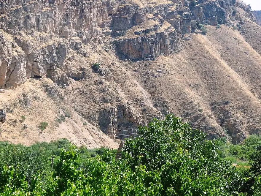
Noravank sits about 20-25 km away up a side canyon that leaves the M2 near Areni, and it is the reason most people are in the province at all: a red-walled gorge, and Momik’s two-storey church with its terrifying external staircase. What catches independent travellers out is that there is no public transport up the canyon. From Yeghegnadzor you need a taxi with waiting time, a rental car or a tour; Wikivoyage quoted about 5,000 dram for the return trip with waiting in April 2025, which gives you the order of magnitude rather than today’s price.
The trick is to go late. Coach tours from Yerevan cluster at Noravank through the late morning and the early afternoon, and by five o’clock the car park empties out and the low sun turns the cliffs the colour the postcards promise. Staying in Yeghegnadzor is what makes that timing possible. Our full guide to Noravank monastery covers the church, the carvings and the climb.
Gladzor: the university that was here
Five kilometres uphill from town, in the village of Vernashen, is the museum that explains why this quiet province matters in Armenian history. The University of Gladzor was founded around 1280 by Nerses of Mush and ran until 1340, and together with Tatev it was one of the two great centres of learning in medieval Armenia, patronised by the Orbelian and Proshian princely houses and turning out theologians, philosophers and some of the finest illuminated manuscripts of the period.
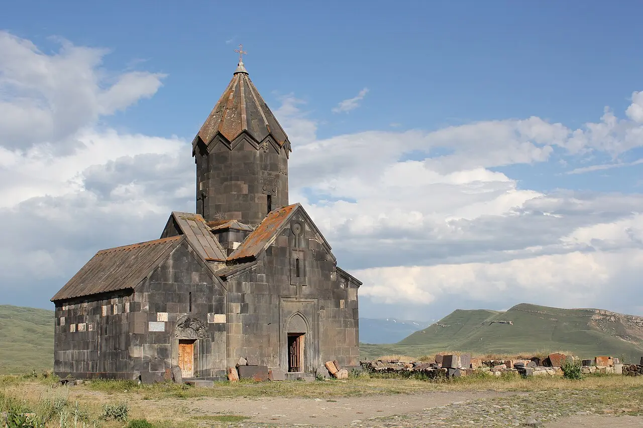
The “Gladzor University” Historical-Cultural Museum-Reservation is housed in the 17th-century church of Surb Hakob in Vernashen and was set up in 1984, for the university’s 700th anniversary. It is small, and it is not a slick museum, but the manuscript facsimiles are captioned in English, Armenian and Russian, and standing in a village church looking at pages produced on this hillside seven centuries ago beats any amount of reading about it. Nearby Tanahat monastery, on its own bare slope, is one of the sites associated with the university.
The Yeghegis valley: a fortress, a monastery and a Jewish cemetery
The side valley of the Yeghegis river, north-east of town, is the best half-day here and almost nobody does it. The fortress, the monastery and the cemetery sit within a few kilometres of each other, and if you want the full driving day with the Selim Pass caravanserai added on, we have mapped it out as the Yeghegis valley loop.
Smbataberd is a ridge fortress with a long stone rampart running along a spur, protected on three sides by drops into the gorges of the Artabuynk and Yeghegis rivers. Sources disagree about its age, with the site claimed as early as the 5th century and the standing walls medieval, but the walk up from Artabuynk village is the point: a steady climb, an hour or so, and a view down two valleys at the top. Late May and June, with snow still on the peaks, are the classic weeks for it.
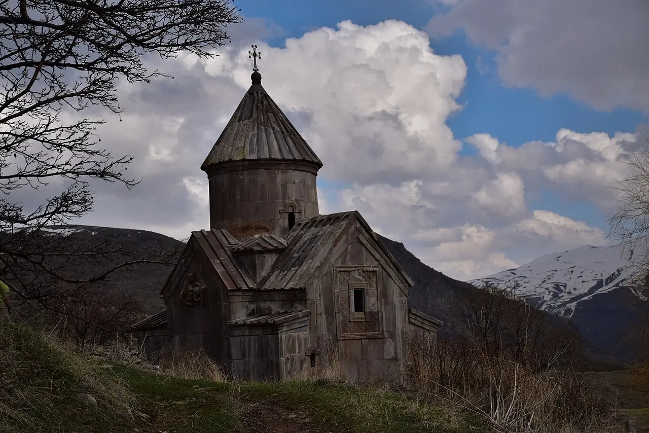
Tsakhats Kar monastery, across the valley, is a scattered 10th-to-13th-century complex known for its khachkars and animal carvings, and the two are usually walked together in one loop.
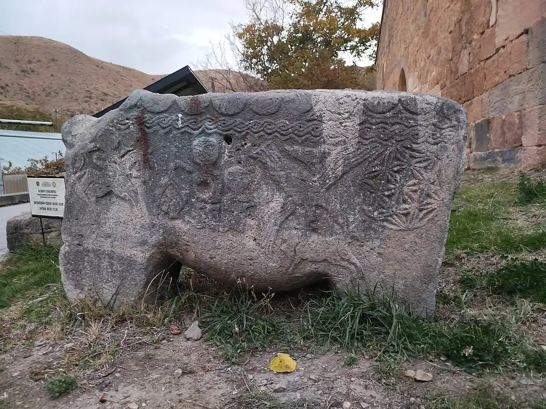
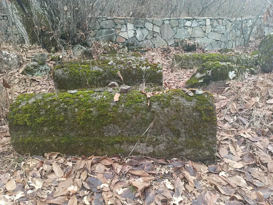
The third is the strangest and the one worth the detour on its own. Below the village of Yeghegis, on the far bank of the river, lies a medieval Jewish cemetery: roughly 40 surviving tombstones from the 13th and 14th centuries, with another 30 or so nearby, carved with inscriptions in Hebrew and Aramaic. The oldest dates from 1266, the most recent from 1346, and the site was excavated between 2000 and 2003 by a joint Armenian-Israeli team led by Professor Michael E. Stone with David Amit. A Jewish community living, trading and burying its dead in a Vayots Dzor mountain valley in the Mongol period is not the story anyone expects from rural Armenia, and standing among the slabs, with the river below and nothing else around, is oddly moving.
In the town itself
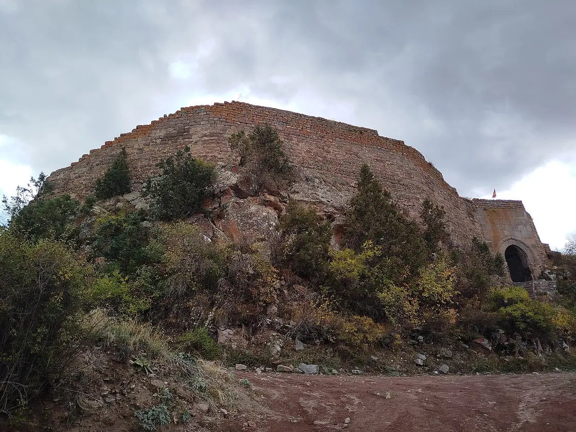
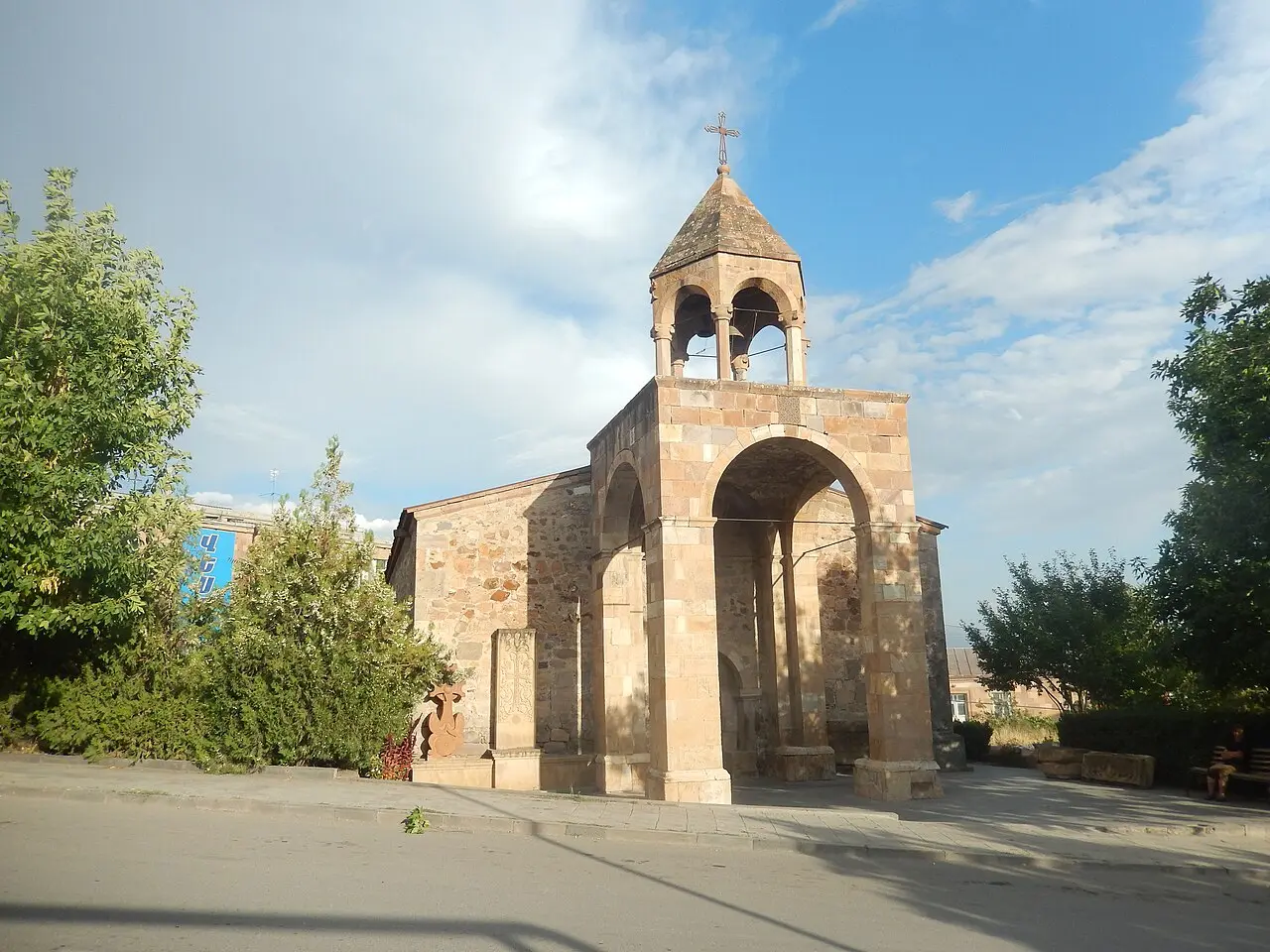
Give the town an evening rather than a day. The Cathedral of the Holy Mother of God dates from the 12th century, the church of Surb Sargis sits above the streets with khachkars in its grounds, and the ruins of the 13th-century Proshaberd (Boloraberd) fortress hang on the heights. The regional museum of Vayots Dzor covers the province’s archaeology and is worth twenty minutes if it happens to be open, which is not guaranteed off-season.
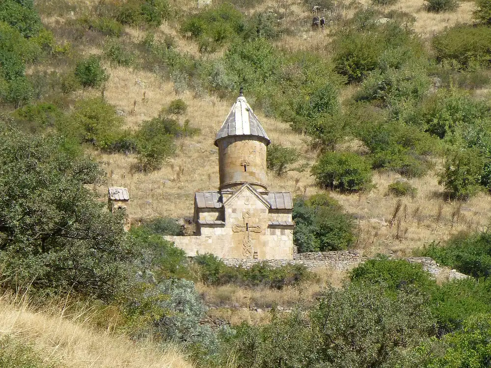
Spitakavor monastery, built in 1321, is up a rough track above the town and rewards anyone with a high-clearance car or a willingness to walk the last stretch.
And then there is the cheese. Yeghegnadzor is known for horats panir, literally “pit cheese”: made from goat’s milk, packed into a clay vessel or a skin and buried in the ground for months to mature, which gives it a sharp, crumbly, faintly barnyard character that goes alarmingly well with the local red. Ask at the market or your guesthouse; it is not a restaurant menu item so much as something someone’s aunt makes.
Getting there, sleeping and eating
Yeghegnadzor is on the M2, the main road from Yerevan south to Goris and the Iranian border, so it is easy to reach and easy to build into a bigger southern trip. Buses and marshrutkas run several times a day from Yerevan, take roughly two to three hours and cost around 2,000 dram, but the departure point varies between operators, some leaving from Kilikia bus station and others from the stand near Gortsaranayin metro, so check locally or on t-armenia.com the day before. Shared transport also runs the short hop to Areni. Onward, the road continues to Goris and Tatev, which makes the town a natural first night on a southern loop; see Yerevan to Goris and Tatev for that leg and getting around Armenia for the wider picture.
Accommodation is guesthouses rather than hotels, and that is a feature, not a shortcoming: home cooking, homemade wine, and hosts who will call a driver for you. Beds were quoted at roughly 6,000 to 10,000 dram per person in 2025, sometimes with breakfast, and Hotel Arpa is the conventional option if you want a reception desk. For eating, the khorovats grills along the highway by the Arpa are the local institution, smoky and generous and open late.
If you are choosing between here and a spa base, Jermuk is an hour further up the valley and a completely different proposition, higher, cooler and built around mineral water; our guide to Jermuk sets out the difference. Yeghegnadzor is the one to pick if your trip is about wine, monasteries and mountain walks rather than sanatoriums. Aim at the vine turn, late September into the first week of October, when the leaves colour and the festival lands, and the argument for two nights makes itself. Our best time to visit Armenia guide explains why that window works across the whole country.
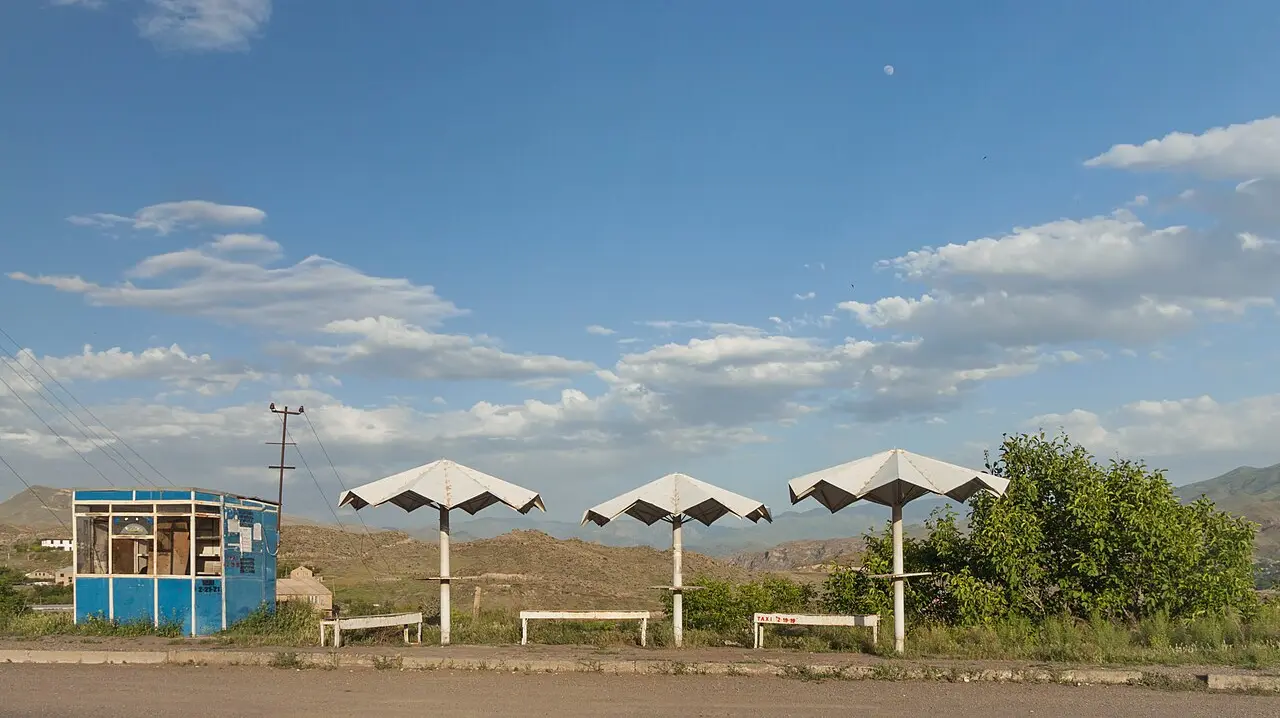
Photos
On the map
The map loads on click - to keep the page lightweight.
The map didn’t load. Check your connection and refresh the page.
Admission and opening hours
- Admission price
- Guesthouse beds were quoted around 6,000-10,000 dram per person in 2025; the Gladzor museum and town churches are cheap or free
- Opening hours
- Museums keep short provincial hours and may close for lunch - ring ahead out of season
Prices and opening hours here move year to year and few places publish them online. Treat every figure as a starting point and confirm on arrival.
Details checked: July 23, 2026
Distance≈123 km · roughly 2-3 hours by road
- Yerevan≈123 km · roughly 2-3 hours by roadSouth on the M2 towards Goris and Iran. Marshrutkas and buses run several times a day for around 2,000 dram, but the departure point in Yerevan varies by operator (Kilikia bus station or the stand near Gortsaranayin metro) - confirm the current stand, time and fare locally or on t-armenia.com.
Read also
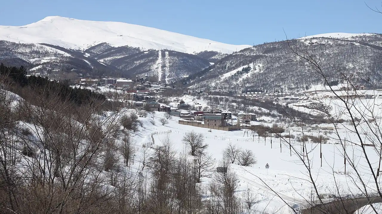
Cities · 10 min read
Tsaghkadzor: Armenia's Ski Town in Every Season
Verified · July 21, 2026Armenia's flagship ski resort, 58 km north of Yerevan: the Kecharis monastery, a five-stage ropeway, the ski slopes and what to do here in summer.
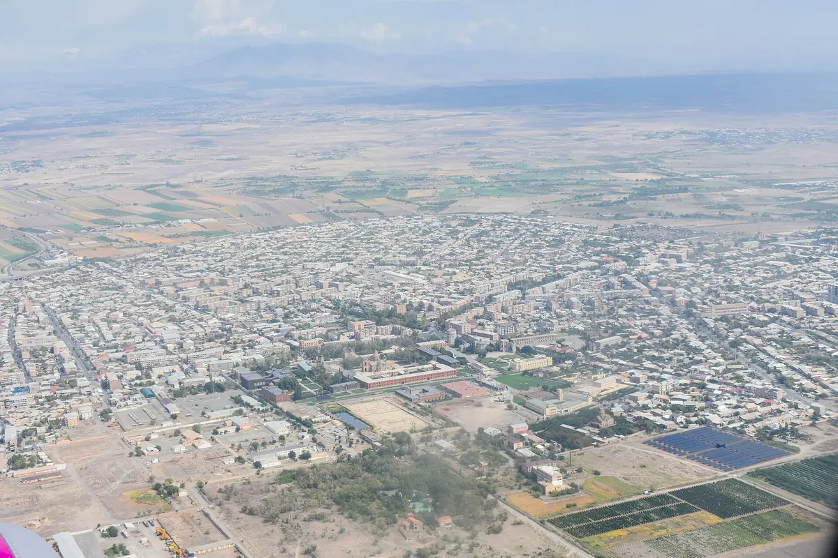
Cities · 11 min read
Vagharshapat (Etchmiadzin): Armenia's Spiritual Capital
Verified · July 16, 2026A guide to Vagharshapat (Etchmiadzin): the Mother See cathedral, the martyr churches of Hripsime and Gayane, Sardarapat memorial and how to visit.
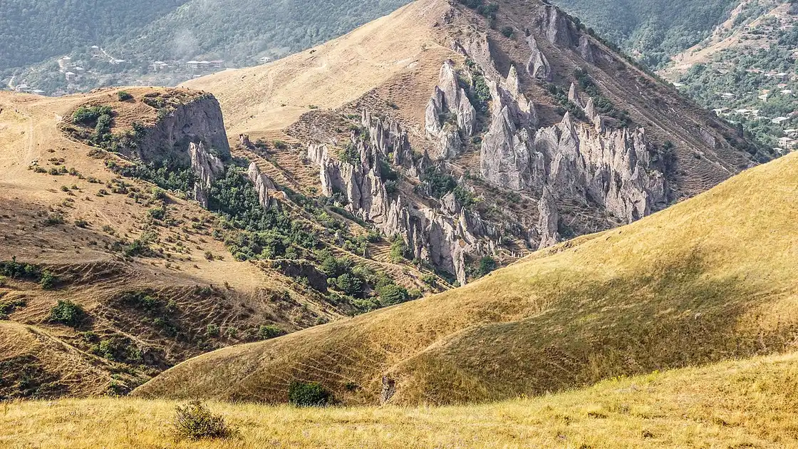
Cities · 9 min read
Goris: Gateway to Tatev & the South
Verified · July 4, 2026A guide to Goris, Armenia: the stone old town and rock cones, Old Khndzoresk and its swinging bridge, the base for Tatev, and how to get there.
Cities · 9 min read
Gyumri: Armenia's Second City
Verified · July 4, 2026A guide to Gyumri, Armenia's second city: the Kumayri old town, Vardanants Square, the Black Fortress, the 1988 earthquake, and how to visit from Yerevan.