Saghmosavank & the Armenian Alphabet Monument
A half-day from Yerevan: the 1215 monastery on the Kasagh gorge and the 39 giant stone letters at Artashavan, with the gorge hike between them.
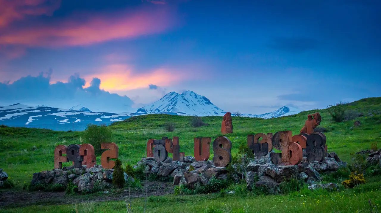
Saghmosavank and the Armenian Alphabet Monument sit about ten minutes apart on the Aragats side of the Kasagh gorge, roughly 35 km north of Yerevan, and together they make the tidiest half-day in the country: a 1215 monastery standing on the lip of a canyon, and a field of 39 giant tuff letters left out in the grass like a national alphabet nobody bothered to bring indoors. Neither charges anything, both are open air, and you’ll fit the pair into four hours including the drive.
The order matters more than most people expect, and it comes down to where the sun is. Don’t reverse the afternoon light by accident: the monastery stands on the western lip of the gorge with its apse pointed east into the void, so the side you can stand in front of is the western one, and it takes direct light only from around midday on. The vantage worth walking to is the rim just north of the buildings, looking back south-east: church, gavit and the drop in one frame. The letters have the opposite problem - loose in an open meadow, nothing behind them, nothing to shade them - and they stop looking like lumps of stone only when the sun is low enough to rake across the ornament. So an afternoon pair runs monastery first, letters last. Out early instead? Flip it: letters in the low morning sun, monastery once the sun has come round onto its front.
Saghmosavank: a monastery on the lip of a canyon
The name means “monastery of the Psalms”, and the setting explains why anybody bothered building out here. The complex stands on the western rim of the gorge cut by the Kasagh river, on flat farmland that gives no warning at all: you park by a village lane, walk past a low stone wall, and the ground simply stops. Below is a basalt canyon in stepped terraces with the river a green thread at the bottom, and on a clear day Ararat floats on the horizon straight down the valley - that’s the postcard frame.
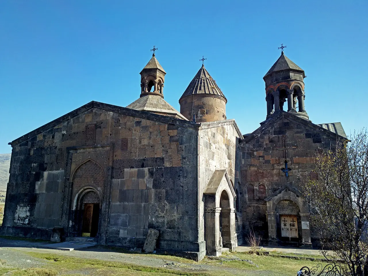
The main church, Surb Sion (the Church of Zion), went up in 1215 for Prince Vache Vachutyan and his wife Mamakhatun, whose commissioning inscription still names them both. It’s a cross-winged domed church with two-storey annexes tucked into all four corners, and if that description feels oddly familiar after a few days in Armenia, there’s a reason: the same prince paid for the near-identical Church of Karapet at Hovhannavank, built 1216-1221, five kilometres down the same gorge. One patron, two near-twins, which is why locals talk about them in a single breath.
The gavit, the library and the family who paid
Vache’s son Kurt Vachutyan carried the building on, and this is where the sources stop agreeing. The book depository dates itself: Kurt and his wife Khorishah record in its inscription that they built the library and founded a chapel named for their daughter Mamakhatun, after her grandmother, and the Courtauld Institute’s Crossing Frontiers project reads that as 1253. The gavit - the wide vestibule hall in front of the church, four columns dividing it into nine bays - is the contested one. Wikipedia, citing the historian Antony Eastmond, puts it at 1255 under Kurt; Courtauld argues it went up straight after the church, which would make it 1210s or 1220s work and hand it back to Vache. So the two dates quoted around this monastery aren’t two readings of one year: they belong to two different buildings.
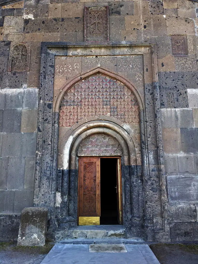
Four buildings survive: the domed church, the gavit, the library and a single-nave chapel on the library’s eastern face. The library is the point of the place. Vardapet Hovhannes Munj had already run a school here in the 12th century, before the Vachutyans arrived, and the complex went on copying and teaching - which is what a “book depository” meant in the Armenian Middle Ages, a working scriptorium rather than a shelf.
It has been patched up more than once. Restorations came in the mid-17th century under katholikos Yovhannes, again from vardapet Gabriel in 1669, and once more in 1890 under Khrimean Hayrik, when the gavit’s southern portal was rebuilt and the south arcades were turned into windows. Worth knowing before you walk round that side: those openings spent their first six centuries as an open arcade.
The gorge, and the walk between two monasteries
Most day trips give Saghmosavank twenty minutes and leave; the gorge deserves longer. The rim path north and south of the monastery gives the view you actually came for, and a small covered viewpoint on a spur lets you sit with the whole canyon in front of you.
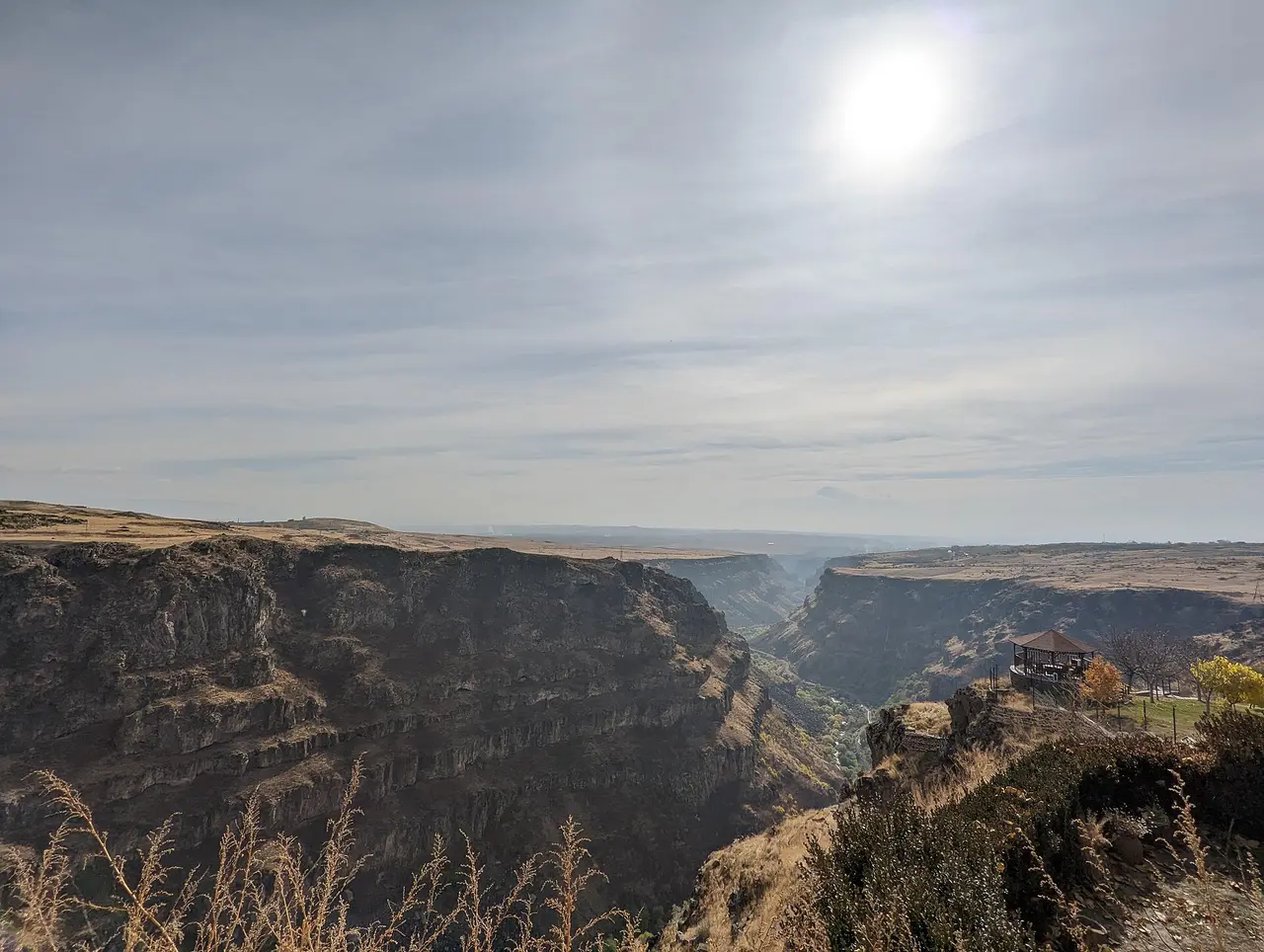
Given a whole day and someone happy to drive round and collect everyone, a marked trail runs down and along the canyon between the two monasteries. HIKEArmenia lists “Two Churches + Gorge” at 7.9 km, about 3.5 hours, graded medium, dropping into the gorge on restored old paths and passing the ruins of a 4th-century church of Gregory the Illuminator on the way. Two short sections cross loose boulders, there’s almost no shade, and walkers report snakes in spring - so this is a spring or autumn morning outing rather than a July afternoon one. Hikers usually advise starting at Hovhannavank, but know what that buys you: HIKEArmenia gives Saghmosavank as 1,630 m and Hovhannavank as 1,328 m and describes the route in that direction, so from Hovhannavank you’re walking about 300 m of net climb. Our roundup of the best hiking in Armenia puts it in context with the country’s bigger routes.
Hovhannavank itself earns the five-kilometre detour. Its gavit was finished by the same Kurt Vachutyan in 1250, a central rotunda went in in 1274, and the 1918 earthquake brought down the dome and the southern wall, both rebuilt in the 1990s. See how the pair sits against the rest in our guide to the best monasteries in Armenia.
The Alphabet Monument: 39 letters in a field
Back on the highway and a few minutes north, near the village of Artashavan on the eastern slope of Aragats, the whole Armenian alphabet stands in a meadow. The park was laid out in 2005 for the 1600th anniversary of the alphabet, carved from tuff in the reds, ochres and greys Armenian masons have worked for fifteen centuries. The design is credited to the architect Jim Torosyan, though that comes from Armenian tour operators rather than a plaque on site, so treat it as local consensus rather than gospel.
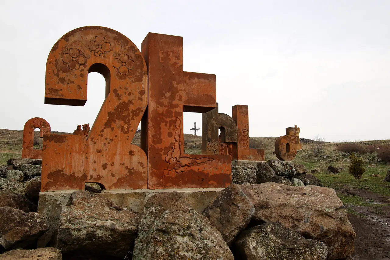
Here’s the detail nobody explains on site, and the one that makes the visit click. Mesrop Mashtots created the alphabet around 405 AD with 36 letters. Two more arrived in the 13th century, օ and ֆ, taking it to 38. The newest of the 39 is the ligature և, and it has had the strangest career of the lot: the Soviet orthography reform of 1922-24 abolished it outright, and it came back only with the revision of 1940 - this time as a letter in its own right, and not at the end of the queue either: it sits 37th, between ք and օ. So the park isn’t a monument to what Mashtots wrote in 405. It’s the alphabet as an Armenian schoolchild learns it today, fifteen hundred years of edits standing in the grass, and one of those stones was settled as a letter within living memory.
The second thing worth knowing is that these letters were also numbers. Before Arabic numerals reached Armenia, people counted with Mashtots’s original 36 in four rows of nine: units, tens, hundreds, thousands. The three later arrivals carry no numeric value at all. Medieval dates in manuscripts and on khachkars are written in exactly these characters - which means that once you’ve walked between them out here at full size, the carved dates on monastery walls stop being decoration and start being readable.
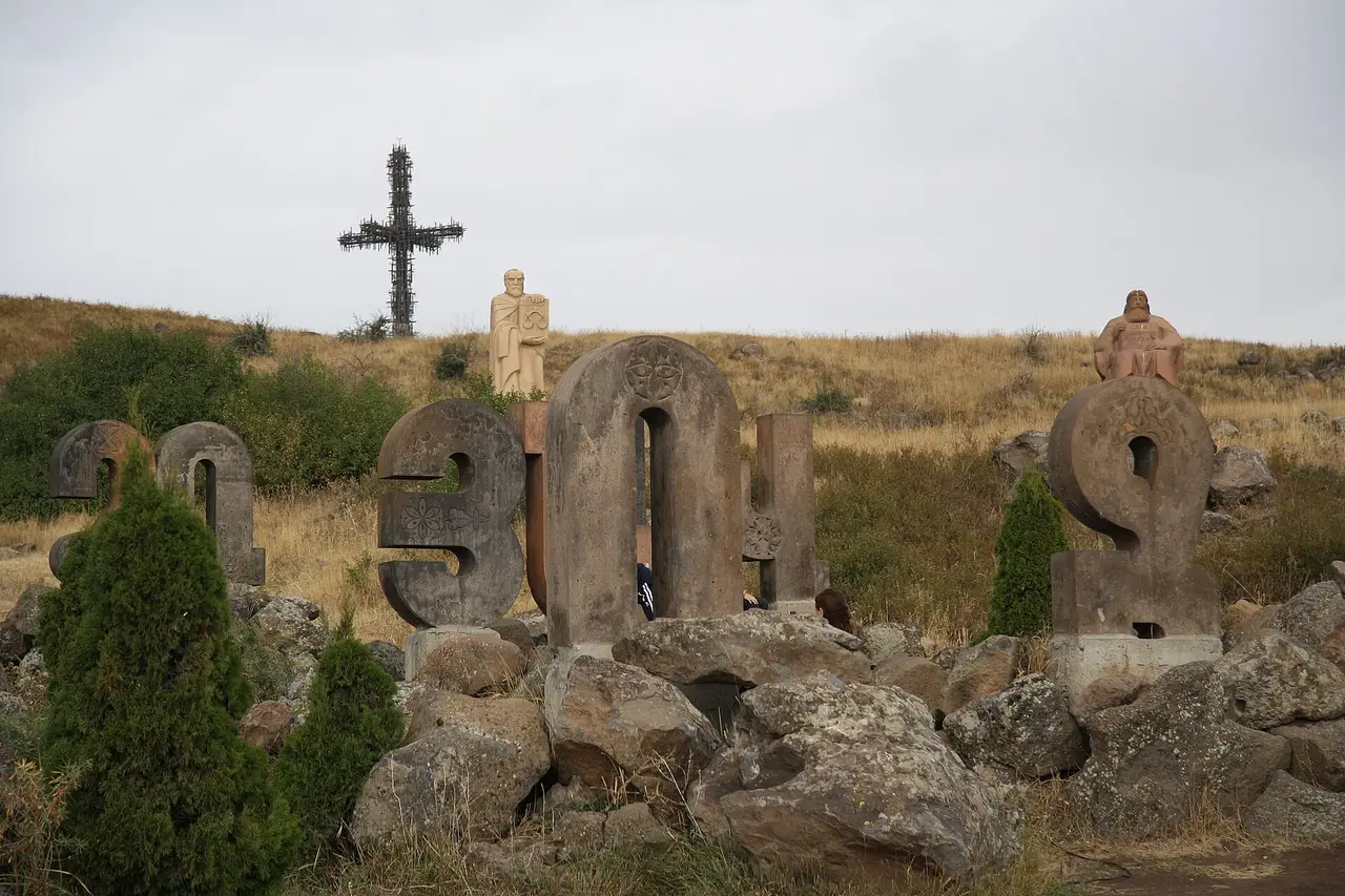
Nobody visits the letters solemnly. Armenians come to find the initial of their family name and be photographed leaning on it, and there’s usually a wedding party or a school group somewhere in the field. Between the letters stand statues of the people who did the most with them: Mashtots himself, the national poet Hovhannes Tumanyan, and Khachatur Abovian, the father of modern Eastern Armenian literature.
The cross on the hill above
The tall openwork cross on the ridge behind the letters is newer and odder than it looks. Installed in 2012, it stands 33 m high and is made up of 1,711 iron crosses assembled into the shape of one - the number marking the years since Armenia adopted Christianity in 301. A cross is added every year, so the count keeps moving. Most people photograph it from the letters and never walk up, which is a mistake: it’s a short climb from the road and hands you the alphabet field, the Aragats slopes and the plain in one view.
Doing both in half a day
From Yerevan it’s about 35 km and 40 to 50 minutes by car, north on the M3 past Ashtarak, with a signposted turn down to Saghmosavan and a second further north for the letters. The half-day breaks down like this: 45 minutes out, 60 to 75 minutes at the monastery if you walk the rim rather than circling the church twice, ten minutes between the sites, 45 minutes among the letters, 20 minutes more if you climb to the cross. Add the drive home and you’re back in Yerevan four hours after you left.
There’s no direct public transport to either site - marshrutkas on this road run to Ashtarak and Aparan and drop you on the highway, a long way short of both. So it’s a hired car, a taxi held for the half-day, or an organised trip. The taxi is the one people get wrong: an app will bring you out on the meter, but no app waits while you walk a canyon rim, so the hold is a flat price you negotiate. Agree it in AMD, in cash, out loud, before you get in, waiting time at both stops included - there’s no published going rate to check it against, so settle the number first and weigh it against a tour seat. A guided Aragatsotn day trip takes the driving off your hands and usually bundles the two with Amberd or Oshakan; if you’d rather set your own pace, our guide to car rental in Armenia covers the paperwork and the roads, and taxi apps in Armenia shows what metered fares here look like.
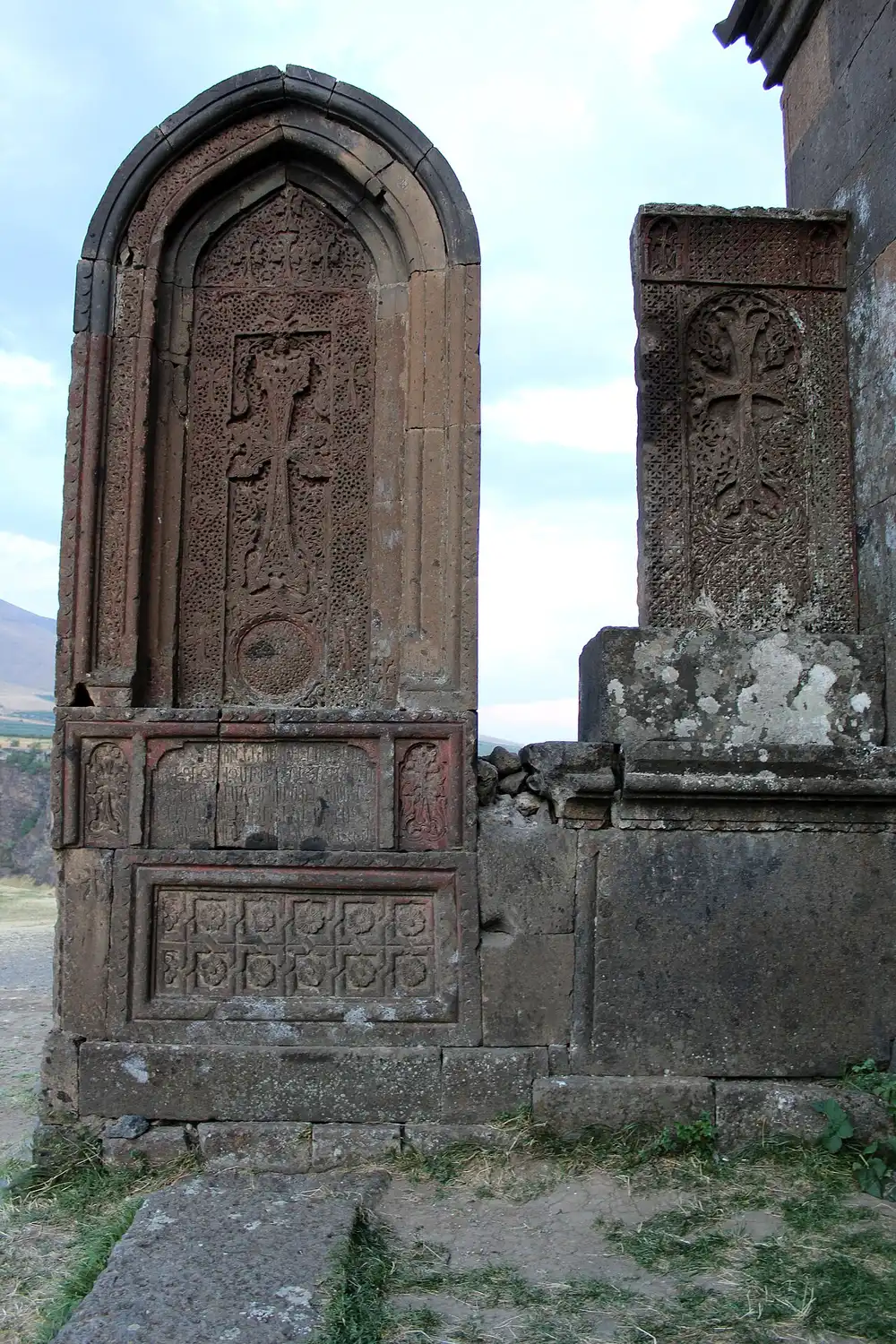
Both sites are free, with no ticket office and no published hours - the letters are a field beside the road, the monastery a working church, so cover shoulders and knees and keep quiet during a service. No cafe at the letters, only village shops near the monastery: carry water. The one real hazard is the gorge rim - no railing along most of it, and a drop of a hundred metres and more - which matters with children, or if you step backwards for a photograph.
Season is the good news. This pair sits low enough to work all year round: winter just means short light and possible ice on the rim path, spring puts the gorge in flower, autumn gives the cleanest views of Ararat. Amberd and Lake Kari, higher up the same mountain, don’t have that luxury - which is the thing to check if you have a whole day and fancy bolting the fortress on. Amberd sits at 2,300 m, about 50 km from Yerevan by the Byurakan road, and that road is generally clear only from about mid-May to mid-October. Our page on Amberd fortress has the drive and the seasonal gate.
For the fuller version, the same two sites anchor our self-drive Aragatsotn day loop, which strings them together with Oshakan, Amberd and the alpine lake at Kari. Still choosing which day out to spend? Our comparison of the best day trips from Yerevan sets this half-day against Garni, Khor Virap and Sevan. One footnote worth the ten-minute detour on the way home: Mesrop Mashtots is buried at Oshakan, about 8 km southwest of Ashtarak, under a chapel raised over his grave. Seeing the letters and then standing at the tomb of the man who invented them beats driving straight back into Yerevan traffic.
On the map
The map loads on click - to keep the page lightweight.
The map didn’t load. Check your connection and refresh the page.
Good to know
Both sites are free and open air. Saghmosavank is a working church, so cover shoulders and knees; the Alphabet Park is an unfenced field with no ticket office and no fixed hours - go in daylight.
Details checked: July 24, 2026
Distance ≈35 km · 40-50 min by car
- Yerevan ≈35 km · 40-50 min by car Paved road north on the M3 past Ashtarak, then a signposted turn to Saghmosavan; no direct public transport to either site.
Read also

What to see · 10 min read
Soviet Modernist Yerevan: An Architecture Walk
Verified · September 5, 2026Walk Yerevan's Soviet modernism: Rossiya Cinema, Komitas Hall, Cascade, Hrazdan Stadium and Demirchyan Complex - dates, route order, and what still stands.

What to see · 9 min read
Kond: Walking Yerevan's Oldest Neighborhood
Verified · September 3, 2026Walk Kond, Yerevan's oldest living quarter: Surp Hovhannes, Tepebashi mosque walls, Leo Street alleys, and how to visit without treating it like a set.
What to see · 8 min read
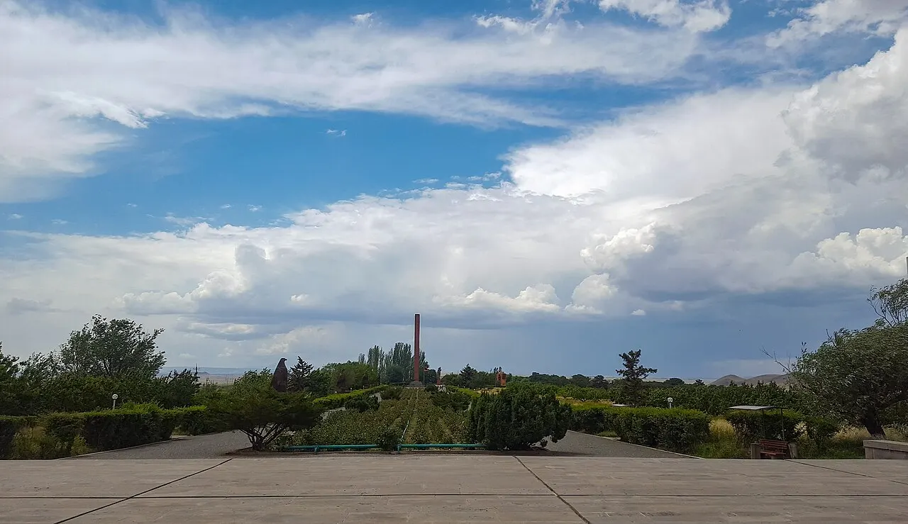
Sardarapat Memorial: Armenia's 1918 Battle Site
Verified · August 31, 2026Sardarapat Memorial near Armavir: 1918 battle site, Israelyan's red-tufa complex, ethnography museum tickets, hours and how to reach it from Yerevan.
What to see · 12 min read
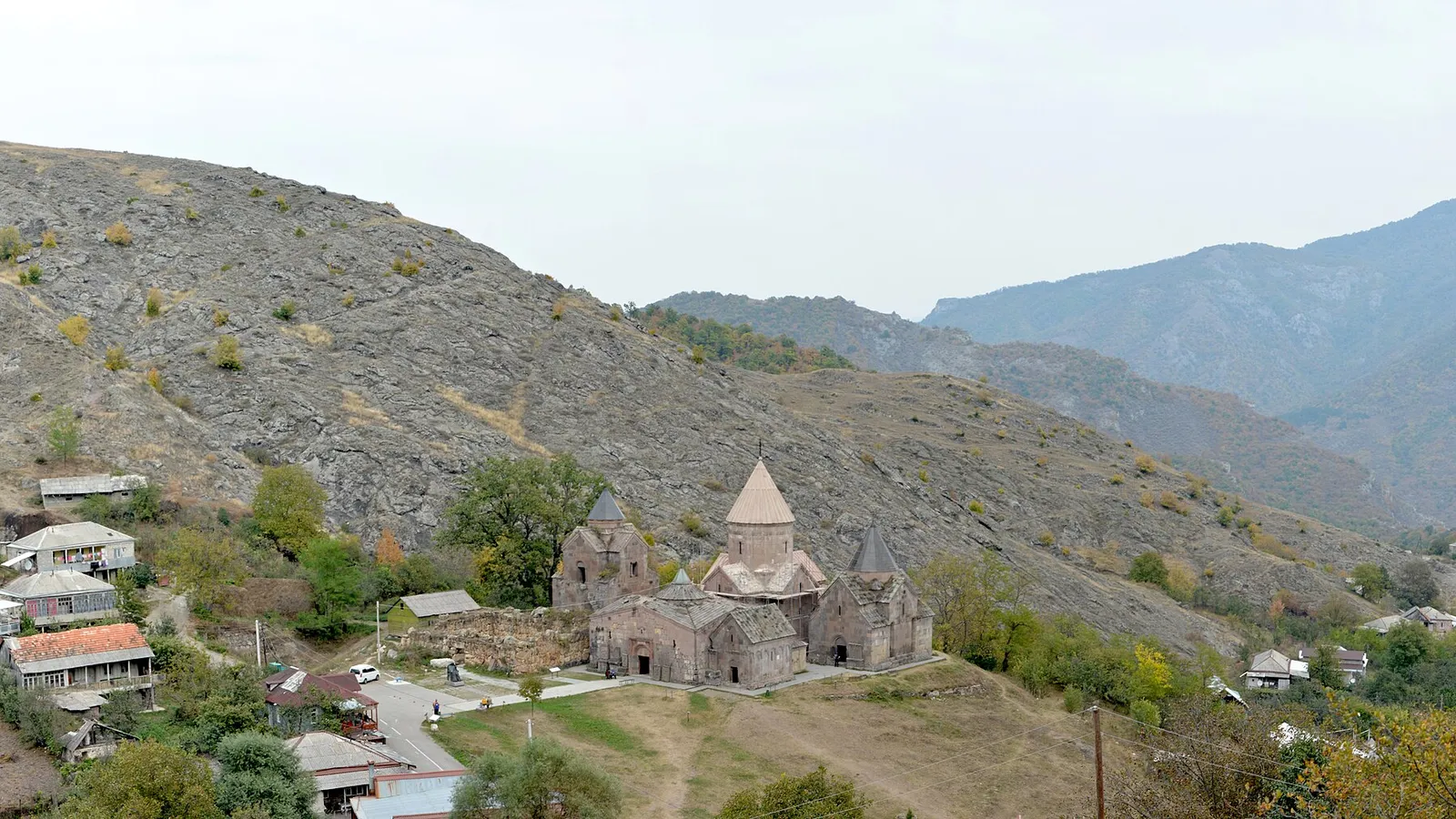
Goshavank Monastery & the Village of Gosh
Verified · August 29, 2026Visiting Goshavank: Mkhitar Gosh's law code that reached Poland, the 1291 embroidered khachkar, his statue and hillside tomb, and the drive from Dilijan.