
Ughtasar Petroglyphs: 4x4 to Bronze Age Rock Art
Crater-lake rock art at 3,300 m above Sisian: 4x4 only, July-September 2026. Ask a Sisian guesthouse to book the jeep - a hire car will not make the track.
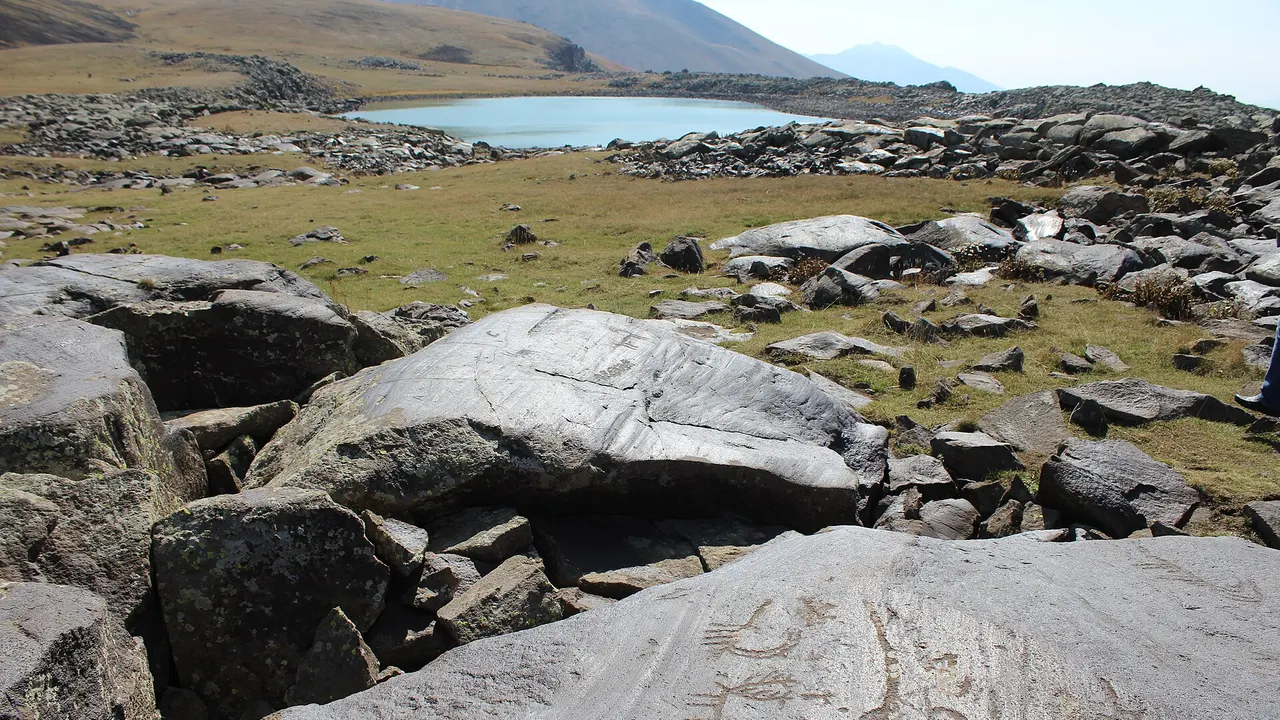
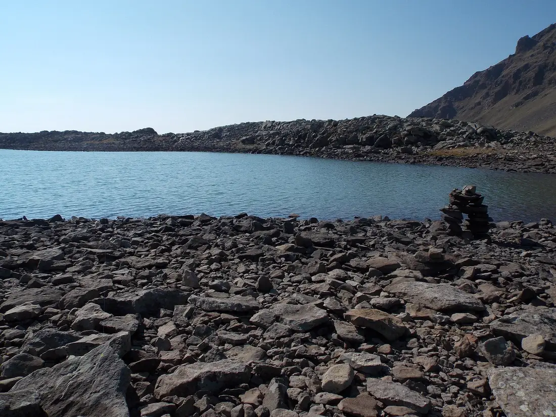
Ughtasar is a small glacial lake in a dead volcano’s caldera at about 3,300 m, a short map-distance north of Sisian and a long, ugly climb in a real 4x4. The black basalt around the water is pecked with goats, hunters and carts, most of it from the 5th to 2nd millennia BC. In 2026 the snow is off long enough to visit from roughly early July to late September, and even then a storm can shut the track overnight. A hire car from Yerevan will not get you the last 17 km.
That last stretch is the whole point of coming. Karahunj sits 3 km off the M2 on a plateau you can walk in ordinary shoes. Ughtasar is the opposite job: a crater you earn, a lake that can still hold ice in August, and pictures cut into lava instead of stones stood on end. If you only have the south for one afternoon, take Karahunj. If you’re overnighting in Sisian in July or August, this is the day the town was built for.
The crater that holds a lake
The basin is the floor of Tsghuk, an extinct volcano in the Syunik highland. A survey team that has been recording the site since 2009 puts the caldera at about 1.5 km by 1 km, with a permanent lake held back by a natural dam of boulders on the southern edge. Most of the carvings sit in the boulder streams around that water. Between the rocks there is grass in the short summer, seasonal pools, and the kind of silence you only get when the road has already given up.
The name comes in two spellings and two folk etymologies, and you’ll see both on signs. Ughtasar is “camel mountain” - ught is camel - because the ridge reads, from some angles, like a camel dropped to its knees over the lake. Ukhtasar leans on ukht, pilgrimage. Armenia’s official tourism site uses Ukhtasar; older English guides and the rock-art project use Ughtasar. Same crater.
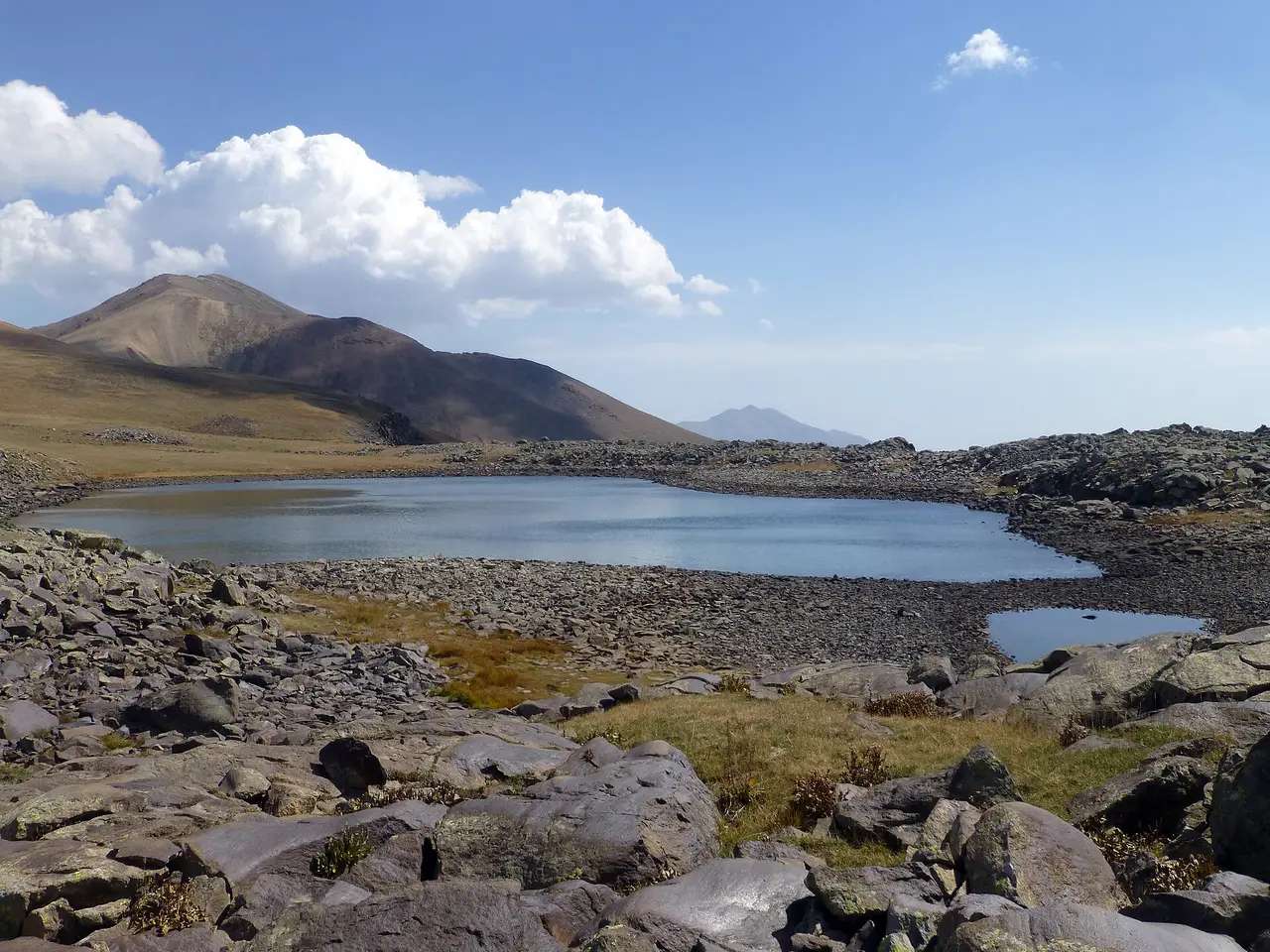
What it feels like, once the jeep stops, is not a monument. There’s no ticket booth and no rope. You step onto broken lava and start looking at the tops of stones the way you’d look for mushrooms. The good panels are not labelled. A driver who has been up here before will save you an hour of staring at blank basalt; without one you’d still find goats, but you’d miss the carts and the odd ploughing scene that actually date the place.
Bring a layer you would not wear in Yerevan in August. At this height the sun is hard and the wind is mean, and the same afternoon can throw a snow squall across a lake that looked like a postcard an hour earlier. There is no cafe, no toilet, no phone you should count on. Pack water and food in Sisian.
Goat-letters on black lava
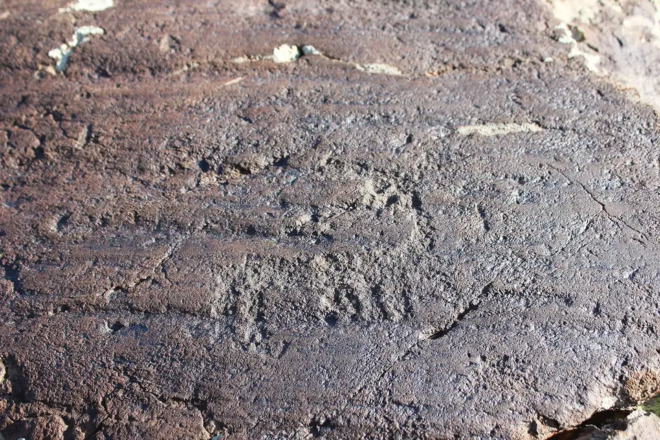
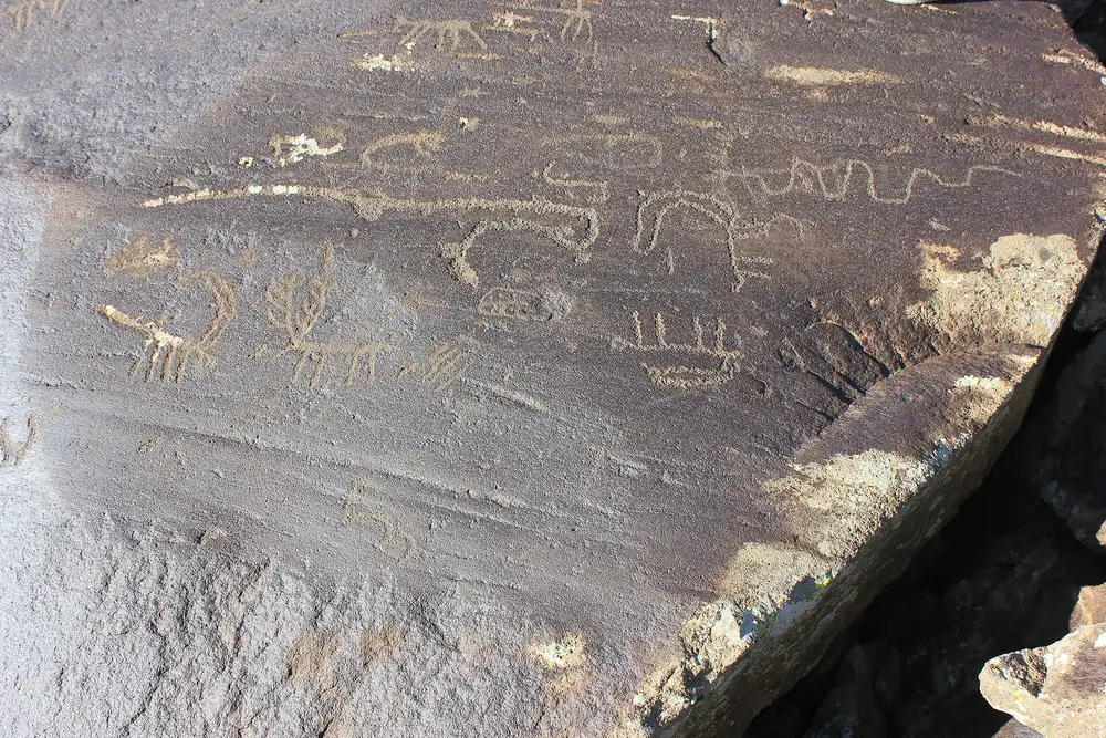
Armenian popular lore calls the carvings itsagir, “goat-letters,” and once you’re among them the nickname writes itself. The animals that turn up again and again are wild goats and ibex, pecked through the dark skin of the rock so the lighter stone shows as a silhouette. Hunters with bows, aurochs, dogs, the odd cart or sled, circles and spirals, almost no birds. The pictures sit on black and grey volcanic blocks, some flat as tables, some tipped on edge in the stream of boulders.
How many, and how old, depends on who is counting. Armenia’s official tourism page for Syunik says over 2,000 decorated rock fragments running down toward the foot of the mountain, and still repeats a Paleolithic line of “7,000 years.” The Ughtasar Rock Art Project, which has been walking the caldera with GPS, talks about almost a thousand carved rocks in the basin itself. Those are not the same unit, so both can be true without either being a lie. Treat “two thousand” as the wider mountain, “a thousand” as the crater you will actually walk.
On age, take the recording team over the brochure. A 1970 study of Syunik rock art by Karakhanian and Safian put the carvings in the 5th to 2nd millennia BC. The project on site says that range likely covers most of what is in the caldera. Carts and wagons cannot be earlier than the early 3rd millennium BC, when wheeled transport shows up in the Armenian archaeological record. Direct scientific dating of a pecked line does not exist, which is why honest accounts stay in a band instead of a birthday. The Paleolithic / 12,000 BCE figure you will still meet in older English copy is a claim, not a measurement. The useful headline for a visitor in 2026 is simpler: this is highland Bronze Age picture-making, with older and later marks mixed in, including modern shepherd graffiti.
That last point is the one visitors can actually help with. The same project that mapped the rocks has been blunt: people stepping on the carved surfaces, in a climate that already flakes the stone, are doing damage that will not grow back. The pictures are shallow. Stay on the grass and the unpecked edges. You’re not in a museum, which is the pleasure of the place, and also the risk.
Snow decides the calendar
Sisian itself sits around 1,600 m. The crater is twice that, and the snow does not pretend otherwise. The recording team says the site is reachable only from early to mid-July until mid to late September, and that even inside that window a storm can make the stony track impassable. Tour-operator copy is tighter still: mid-July to the end of August as the reliable core, jeep only in good weather. In 2026 that means you are reading this inside the season if it’s August, on the edge if it’s the first week of July or the last week of September, and out of luck from October until next summer.
Do not plan Ughtasar as a “maybe we’ll swing by” on a drive from Yerevan. The M2 to Sisian is a paved 3.5 hours. The jeep after that is another 90 minutes to two hours each way, depending on mud, leftover snow and how many times the driver gets out to look at a rut. That’s a day, not a stop. If the guesthouse says the track is wet, believe them and spend the morning at Karahunj and Shaki instead. Shaki’s water runs to a clock; Ughtasar’s road runs to a cloud.
Older English pages, written after the 2020 war, marked this high country as off-limits because it sits toward the eastern frontier. As of 15 August 2026 no ministry notice was found that closes the crater itself, and Sisian hotels still send jeeps when the snow is off. That is not a guarantee. The practical check is the same as the booking: ask in town the night before, and again in the morning if the sky looks wrong.
Ask the Sisian guesthouse for the jeep
There is no public bus to a crater at 3,300 m, and there is no published 2026 tariff from an operator that a reader should budget against. What exists is a local habit. You sleep in Sisian, you ask at the desk - Smithsonian’s MyArmenia programme names Basen Hotel and its owner Hasmik Azoyan as the people who have been sending Soviet-era jeeps up this mountain - and a driver who knows the ruts takes you out through Ishkanasar, 6 km from town, then up 17 km of track that climbs about 1,400 m. Some trips end with a short walk to the lake when the last pitch is too steep for a loaded vehicle.
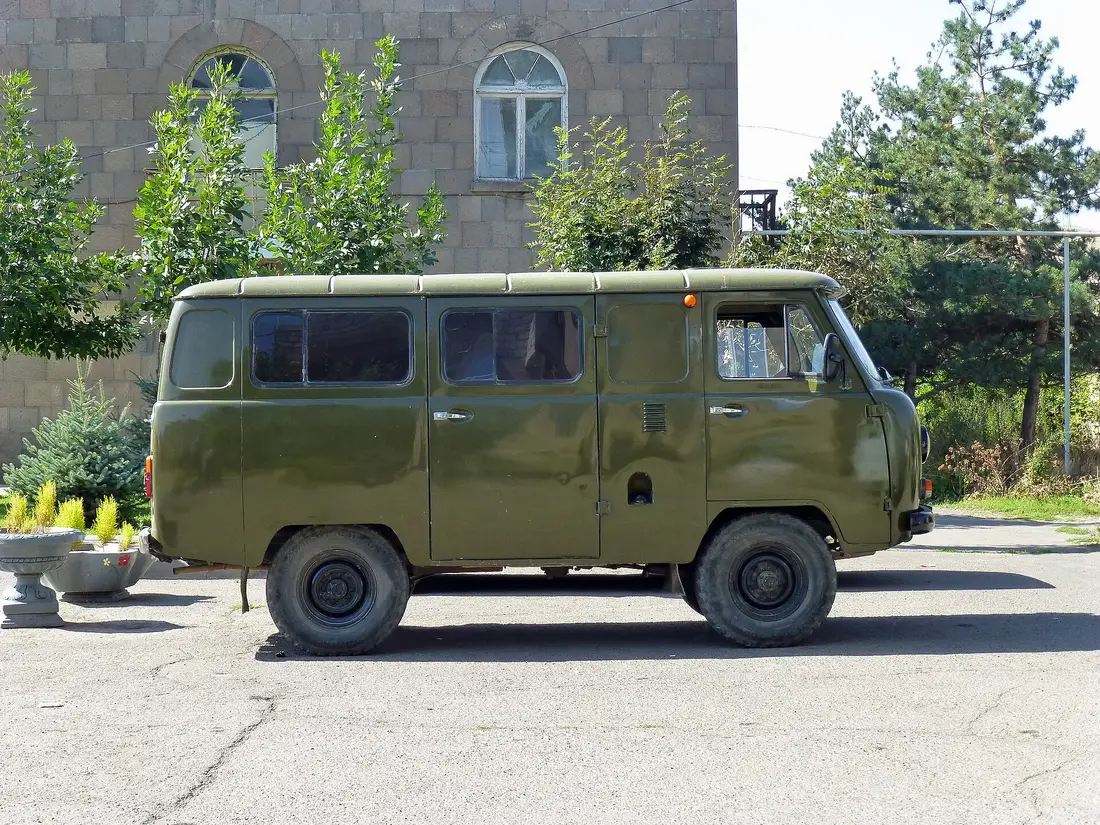
Ask what the jeep will cost that morning, for your number of seats, and whether the driver walks the rocks with you. Prices on traveller blogs from years ago are not a quote. If nobody in town will go, that’s your answer for the day - not a prompt to point a Duster at the mountain and hope.
Yerevan tour desks will sell you the south: Noravank, Karahunj, sometimes Shaki, Tatev. They are not, as a rule, holding a spare UAZ for Ughtasar. Use a southern tour to get your body into Syunik; book the crater locally once you’re there. If you’d rather not drive the M2 yourself, compare what’s actually running from the capital, then add the jeep as a Sisian morning.
Same town as Karahunj, different day
Karahunj and Ughtasar share a base and almost nothing else. One is a field of 223 upright stones at 1,770 m, free, unfenced, 3 km from the highway. The other is a lake in a caldera at 3,300 m with pictures pecked into lava, reachable only while the snow is off. Do not go up expecting holes that whistle. Do not skip Karahunj because you saw goats on a boulder. They are two prehistoric stops in one small highland town, and they repay different hours of the day.
In July-September 2026 a sensible Sisian overnight looks like this. Afternoon of arrival: Karahunj in good light, then Shaki waterfall after 11:00, when the hydro plant is supposed to give the river back. Next morning: jeep to Ughtasar if the guesthouse says the track is open. That blows the “light” second day of the southern Armenia road trip, so either drop Khndzoresk to the following afternoon or add a night. Trying to thread the crater between the stones and the waterfall is how you see none of them properly.
From Sisian the road still runs on to Goris, the cave village, and the Wings of Tatev. Ughtasar does not replace those. It is the optional high day for people who already decided the south was worth sleeping in, and who happened to arrive while the snow allowed it. If you can’t get a jeep, you haven’t failed the south. You’ve just been told, politely, that the mountain is closed.
On the map
The map loads on click - to keep the page lightweight.
The map didn’t load. Check your connection and refresh the page.
Good to know
No ticket and no gate - an open caldera. You reach it only by high-clearance 4x4 in the snow-free window, which in 2026 runs roughly early July to late September. Ask a Sisian guesthouse or operator to arrange the jeep; do not treat a Yerevan hire car as the vehicle for this track.
Details checked: August 15, 2026
Distance ≈240 km · about 3.5 h to Sisian, then 1.5-2 h by 4x4
- Yerevan ≈240 km · about 3.5 h to Sisian, then 1.5-2 h by 4x4 South on the M2 to Sisian. From town, a local jeep runs out via Ishkanasar and up 17 km of rough track. A hire car from Yerevan will not make that last climb. Confirm the 2026 snow window with the guesthouse the night before.
Read also

What to see · 10 min read
Soviet Modernist Yerevan: An Architecture Walk
Verified · September 5, 2026Walk Yerevan's Soviet modernism: Rossiya Cinema, Komitas Hall, Cascade, Hrazdan Stadium and Demirchyan Complex - dates, route order, and what still stands.

What to see · 9 min read
Kond: Walking Yerevan's Oldest Neighborhood
Verified · September 3, 2026Walk Kond, Yerevan's oldest living quarter: Surp Hovhannes, Tepebashi mosque walls, Leo Street alleys, and how to visit without treating it like a set.
What to see · 8 min read
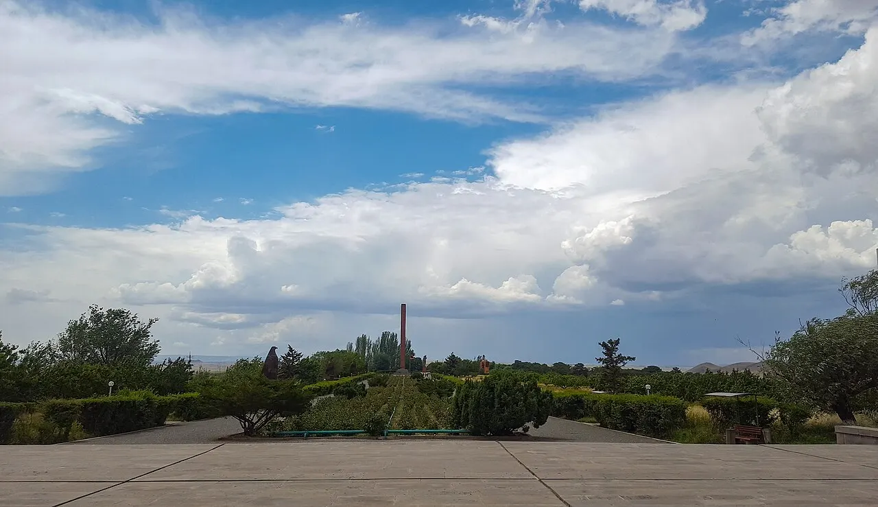
Sardarapat Memorial: Armenia's 1918 Battle Site
Verified · August 31, 2026Sardarapat Memorial near Armavir: 1918 battle site, Israelyan's red-tufa complex, ethnography museum tickets, hours and how to reach it from Yerevan.
What to see · 12 min read
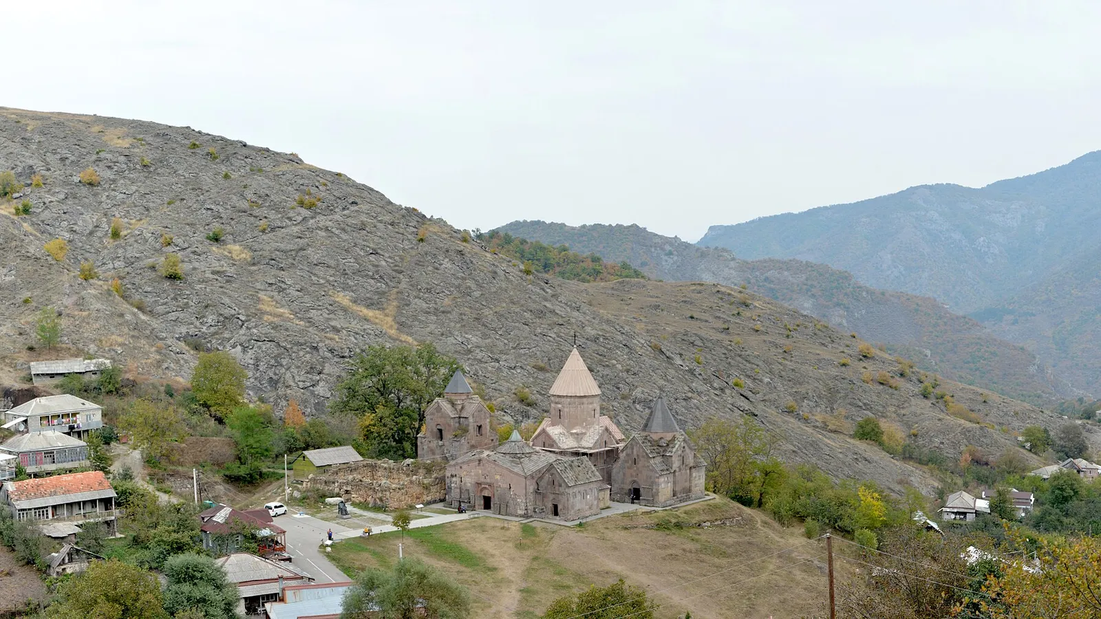
Goshavank Monastery & the Village of Gosh
Verified · August 29, 2026Visiting Goshavank: Mkhitar Gosh's law code that reached Poland, the 1291 embroidered khachkar, his statue and hillside tomb, and the drive from Dilijan.