Hiking in Dilijan National Park: Best Trails
Five marked Dilijan National Park trails with real distance and elevation, from the short Drunken Forest walk to the two-day route to Goshavank.
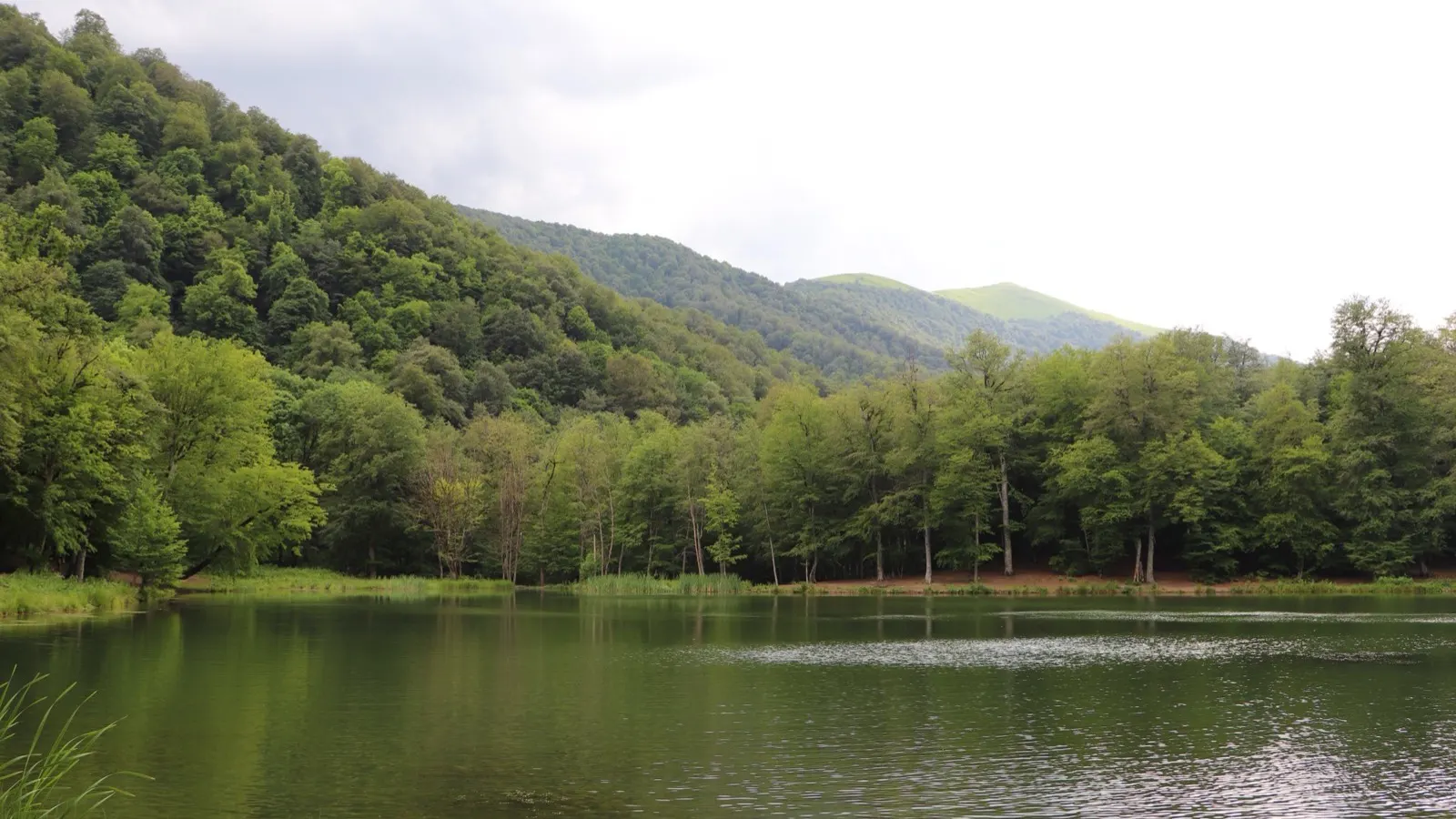
Five trails inside Dilijan National Park carry real HIKEArmenia numbers - distance, elevation range and duration all surveyed and measured, not guessed from a map: Twist and Shout, Hikers Haven, From Town to Twin Churches, the Drunken Forest walk and the Medieval Monasteries loop. Between them they run from a 1.5-hour valley stroll to a two-day route with an overnight at a lake. Our roundup of the best hikes in Armenia covers Dilijan in two short paragraphs alongside Aragats and Khustup; here, each of the five gets its own numbers and its own case for choosing it.
Twist and Shout: Parz Lake to Dilijan
The park’s signature day walk runs 14.1 km between Parz Lake and Dilijan town, taking about four and a half hours, and it’s rated Medium. You can start at either end, and the trail also connects to Gosh village. HIKEArmenia’s own elevation data puts the route between roughly 1,236 m and 1,749 m above sea level, so it’s a rolling walk through the park, not one long steep climb.
The reason to do it in early summer is a meadow locals call Gyolort, a wide alpine clearing where the Transcaucasian Trail’s own trail notes promise some of the most spectacular wildflower displays anywhere in this part of the park, in late spring into early summer, though the ground can still be wet then. The trail also skirts the small Takhtah pine plantation, which has picnic tables and informal camping spots for anyone stretching the walk into an overnight. Hikers who’ve done it describe Parz Lake itself as pleasant but commercialized, with the real payoff being the meadow and the views back down toward Dilijan on the return leg, not the lake.
Hikers Haven: the two-day walk to Goshavank
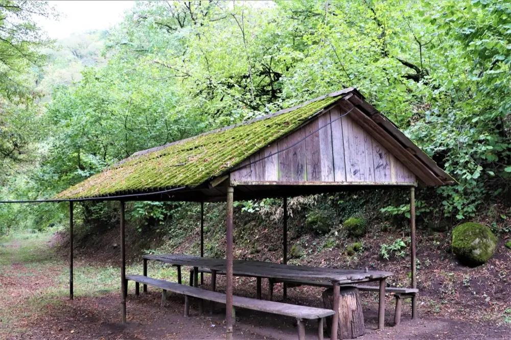
This is the park’s longest marked route. HIKEArmenia’s own stat panel lists the whole trail at 21.2 km, though its trail notes split the walk into 13.1 km on day one to Parz Lake and 7.2 km on day two to Goshavank Monastery - a split that only adds up to 20.3 km. The gap is on HIKEArmenia’s own page, not added here, so treat 21.2 km as approximate, not an exact sum of the two days. Either way, there’s a night at Parz Lake in between, with small cottages or camping space both available there. Despite being the longest trail here, HIKEArmenia rates it Easy, with the elevation spread gradually across the route, from about 1,228 m up to 1,749 m. Fit walkers skip the overnight and finish it in a single long day, with hikers reporting anywhere from six to eight and a half hours depending on pace.
It’s also the trail where the park’s summer pests show up most in trip reports: mosquitoes and ticks in the wetter, overgrown stretches, and stinging nettle along sections with tall vegetation, so long trousers and repellent are worth packing even on a short version of the walk.
From Town to Twin Churches: Dilijan to Jukhtakvank
At 7.1 km this ranks among the shorter trails, and it’s gentler than a quick glance at the site suggests: HIKEArmenia’s own downloadable track puts the elevation between about 1,236 m and 1,491 m, not the steeper range its summary stats show, and hikers who’ve done it describe it as mostly road walking through town before the last stretch turns into forest. HIKEArmenia rates it Easy and lists the walk at around five hours. It starts on Getapnya Street, past a run of newer cafes locals actually use - HIKEArmenia names Tava, Cafe #2 and Kchuch - then a school, a bus shelter and roadside stalls selling homemade produce, before the road gives way to forest.
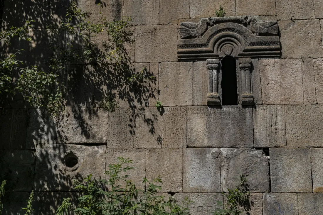
The payoff is Jukhtak Monastery, whose name simply means “a pair,” because the complex is two churches rather than one, built a century apart: one in the 12th century, the other in the 13th, so they’re twins by name only. Older sources also record the site as Gisheravank, the “Night Monastery,” or the monastery of Petra. It’s a proper forest destination in its own right, not just a trail marker to turn back at.
Dilijan Center via the Drunken Forest
If you have ninety minutes and want a taste of the forest without committing to a full trail, this 3.2 km walk from Dilijan’s town centre out to the Drunken Forest is the one to take: it’s rated Easy, and the elevation only ranges from about 1,235 m up to 1,421 m. The name comes from a stand of visibly slanted, leaning trees at Takhta - the same spot Twist and Shout above passes through on its own way to Parz Lake, another 12 km or so further on; this shorter walk simply reaches the forest and heads back rather than continuing that far. HIKEArmenia itself calls it the best option if you’re short on time and just want a good look at Dilijan sitting in its valley. There’s a wider web of informal side paths branching off within a few hundred metres of town for a longer wander, and the route passes the town’s Geological Museum and Art Gallery on the way out.
Medieval Monasteries Trail: Matosavank and Jukhtakvank
At 3.4 km, this loop is barely longer than the Drunken Forest walk above - the shortest trail in the park - and takes around an hour and a half, elevation roughly 1,419 to 1,530 m, but HIKEArmenia rates it Medium rather than Easy. It sets out from the western edge of Dilijan and links two monasteries hidden in the forest: start at Matosavank and go clockwise, which HIKEArmenia recommends as the more comfortable direction, though the loop works either way. The path runs from a dirt track onto single-track through meadows and stands of elm, oak and hornbeam, and you’ll see plenty of animal tracks crossing your own, even if the animals themselves stay well out of sight.
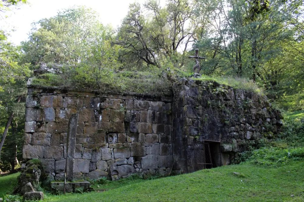
Matosavank is the more historically loaded of the two stops. Its church, Surb Astvatsatsin of Pghndzahank, was finished in 1247 under Avag Zakarian, son of a noble Armenian-Georgian family who had submitted to the Mongols and gone on to command Georgian and Armenian troops under Mongke Khan. Avag died just three years later, in 1250, and of his several known building projects - he also had a hand in Geghard’s rock-cut church around 1240 - Matosavank carries the latest confirmed date. The building has been slowly reclaimed by the forest since, which is exactly what you see in front of you: walls still standing, trees growing out of the roofline, a metal cross planted where the dome used to be.
Which of the five to pick
Short on time, or breaking in new boots: the Drunken Forest walk above is HIKEArmenia’s own pick, 3.2 km and ninety minutes for a real view over the valley. Want the single best day out: Twist and Shout, the 14.1 km classic to Parz Lake and the Gyolort meadow. After monastery history rather than mileage: the Medieval Monasteries loop packs two monasteries into 3.4 km, or walk in on quiet roads to Jukhtakvank alone via Twin Churches. Only Hikers Haven asks for real commitment, either an overnight at Parz Lake or one long day, and it’s the one to plan a taxi or marshrutka back from Gosh village for, since it ends at Goshavank rather than looping back to town.
What to carry and what to watch for
Not one of these trails needs technical gear, but the park has real hazards that don’t show up on a distance chart. Farm dogs guard livestock all through the hills and are trained to see you as a threat, not a visitor, so give grazing animals a wide berth and don’t try to make friends. Mosquitoes and ticks are worst from early summer through the wetter months; stinging nettle grows tall enough on some sections that long trousers aren’t optional. Not one of these five is a serious route-finding challenge, but two hiker reviews mention losing the trail on overgrown or recently logged ground, so download the HIKEArmenia app or a GPS track before you set out, especially for Hikers Haven’s longer stretches.
Water is the one thing to plan around rather than assume. On the Goshavank-to-Parz-Lake leg of Hikers Haven, the Transcaucasian Trail’s own notes flag a single reliable spring, reached shortly before the trail meets the road junction into Parz Lake - fill up there if you’re continuing on toward Dilijan rather than counting on finding water later.
Camping is informally tolerated at a handful of spots: a clearing with a fire pit between Parz Lake and Dilijan, and the terraced ground behind Haghartsin Monastery, where the Transcaucasian Trail asks that you check with monastery staff before pitching a tent. Gosh Lake works too, though it doubles in summer as a popular local spot for khorovats evenings, not a quiet wilderness camp. Not one of these spots has facilities, so pack out your rubbish, and where there’s no toilet nearby, bury human waste well away from any water source, in line with Leave No Trace practice.
Hikers continuing north past Dilijan toward Hovk should note that the town’s own markets are genuinely the last realistic place to stock up before the trail; day-trippers have it easier, with a small buffet at the Parz Lake recreation area and a seasonal coffee and gata stand at Haghartsin. Back in town afterwards, the Dilijan restaurant picks sort the clay-pot kitchens from the coffee stops.
Season matters more than fitness for most of these walks. Late spring through early autumn is the window; go for the wildflowers in late spring or early summer if that’s the draw, and expect the ground on the higher meadow sections to hold water a little longer than the forest paths do. Not one of these trailheads appears to charge a fixed entry fee, though carry a little cash in case a token charge turns up locally, and confirm on the spot rather than assuming either way. If a trip to Dilijan is part of a wider loop, our Dilijan guide covers the monasteries, the old craft quarter and how to get here from Yerevan, and it’s worth reading that first if hiking is only half of why you’re coming. Parz Lake as a single long day from the capital sits alongside Hatis and Ara in our roundup of day hikes near Yerevan.
Photos
On the map
The map loads on click - to keep the page lightweight.
The map didn’t load. Check your connection and refresh the page.
Read also

Entertainment · 10 min read
Paragliding in Armenia: Where to Fly Tandem
Verified · September 3, 2026Tandem paragliding in Armenia: Sky Club, AERO CLUB and Armenian Geographic prices (30,000-85,000 AMD), launch sites, season and how to book.

Entertainment · 9 min read
Yerevan Nightlife: Bars, Clubs & Live Music
Verified · August 28, 2026Saryan wine bars, Pushkin jazz at Malkhas, Dargett craft beer, Club 12, late food and night safety tips for central Yerevan.

Entertainment · 8 min read
Yerevan Wine Days: The City's Street Wine Festival
Verified · August 26, 2026Yerevan Wine Days in early June: free street entry, tasting package, Saryan and Tumanyan routes, and how it differs from Areni and year-round bars.
Entertainment · 9 min read
Best Day Hikes Near Yerevan
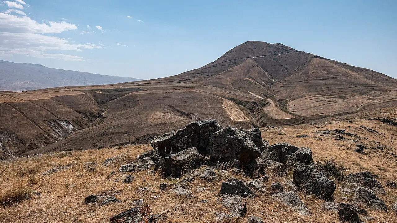
Verified · August 25, 2026Day hikes from Yerevan: Mount Hatis, Mount Ara, Garni Gorge, Khosrov Forest and Dilijan forest walks, with distances, seasons and trailhead access.